Transport Functions
Rail
Road
Hub Profile
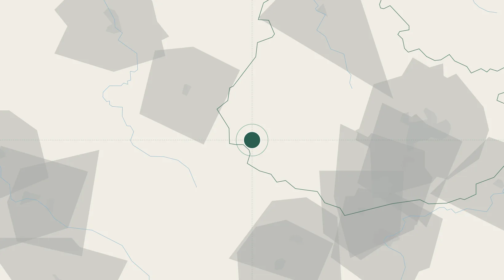
Place type
Populated place
Region
Bourgogne
Population
3,035
Time zone
Europe/Paris
Elevation
537 m
Location
Nearby Logistics Neighbours
Cities
- 1Liernais8 km
- 2Chailly-sur-Armançon19 km
- 3Créancey28 km
- 4Saint-Germain-des-Champs29 km
- 5Saint-Forgeot30 km
Ports
- 1Port Of Rouen337 km
- 2Le Treport376 km
- 3Dieppe376 km
- 4Saint-Valery-Sur-Somme377 km
- 5Honfleur381 km
Airports
- 1Dijon Longvic airport65 km
- 2Auxerre Branches airport85 km
- 3Nevers-Fourchambault Airport90 km
- 4Dole Tavaux Airport94 km
- 5Saint-Yan Airport96 km
Trade Zones
- 1ZFU Chenôve57 km
- 2ZFU La Chapelle Saint-Luc, Les Noës-près-Troyes, Troyes, Sainte-Savine116 km
- 3ZFU Sens126 km
- 4ZFU Besancon134 km
- 5ZFU Bourges146 km
DatabookThe Record of Consolidated Knowledge
France beyond logistics?