Transport Functions
Multimodal
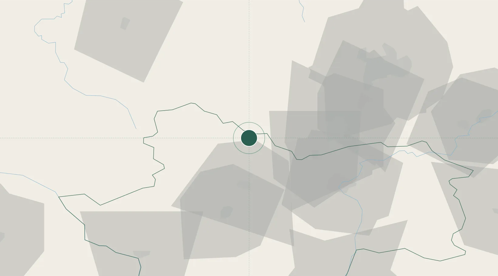
Hub Profile
Place type
Populated place
Region
Bourgogne
Population
562
Time zone
Europe/Paris
Elevation
316 m
Location
Nearby Logistics Neighbours
Cities
- 1Saint-Forgeot13 km
- 2Ivry-en-Montagne13 km
- 3Change15 km
- 4Écutigny15 km
- 5Paris-l'Hôpital16 km
Ports
- 1Port Of Rouen371 km
- 2Fos400 km
- 3Port-de-Bouc402 km
- 4Port Saint Louis Du Rhone403 km
- 5Sete405 km
Airports
- 1Dijon Longvic airport56 km
- 2Dole Tavaux Airport73 km
- 3Saint-Yan Airport74 km
- 4Mâcon-Charnay Airfield82 km
- 5Nevers-Fourchambault Airport103 km
Trade Zones
- 1ZFU Chenôve51 km
- 2ZFU Besancon120 km
- 3ZFU Rillieux-la-Pape134 km
- 4ZFU Lyon 9e139 km
- 5ZFU Vaulx-en-Velin140 km
DatabookThe Record of Consolidated Knowledge
France beyond logistics?