Transport Functions
Road
Multimodal
Hub Profile
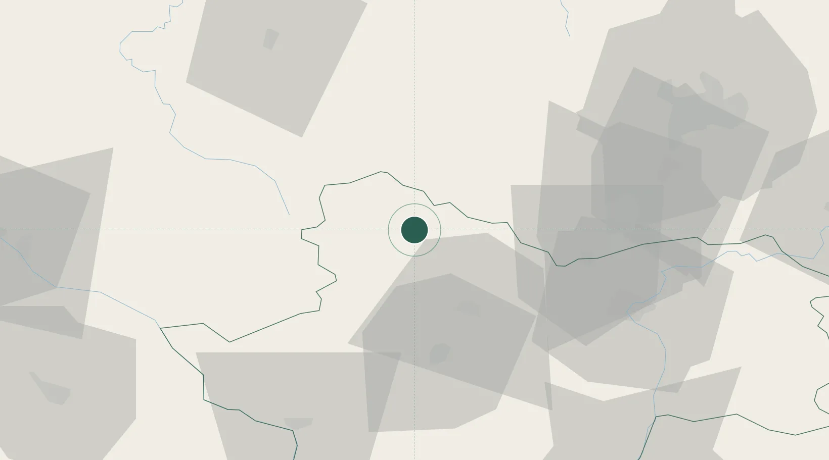
Place type
Populated place
Region
Bourgogne
Population
535
Time zone
Europe/Paris
Elevation
303 m
Location
Nearby Logistics Neighbours
Cities
- 1Sully13 km
- 2Étang-sur-Arroux17 km
- 3Liernais22 km
- 4Le Creusot24 km
- 5Ivry-en-Montagne26 km
Ports
- 1Port Of Rouen363 km
- 2Fos401 km
- 3Sete403 km
- 4Dieppe403 km
- 5Le Treport404 km
Airports
- 1Dijon Longvic airport67 km
- 2Saint-Yan Airport69 km
- 3Dole Tavaux Airport86 km
- 4Mâcon-Charnay Airfield87 km
- 5Nevers-Fourchambault Airport90 km
Trade Zones
- 1ZFU Chenôve61 km
- 2ZFU Besancon132 km
- 3ZFU Rillieux-la-Pape137 km
- 4ZFU Lyon 9e142 km
- 5ZFU Vaulx-en-Velin144 km
DatabookThe Record of Consolidated Knowledge
France beyond logistics?