Transport Functions
Rail
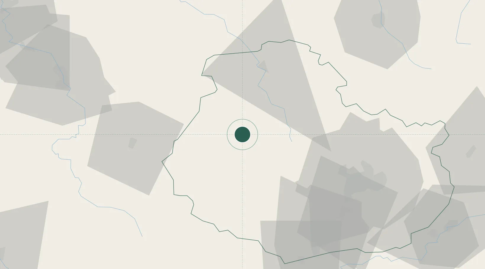
Hub Profile
Place type
Populated place
Region
Bourgogne
Time zone
Europe/Paris
Elevation
235 m
Location
Nearby Logistics Neighbours
Cities
- 1Pouillenay6 km
- 2Flavigny-sur-Ozerain8 km
- 3Montbard12 km
- 4Villaines-les-Prévôtes13 km
- 5Poiseul-la-Ville-et-Laperrière15 km
Ports
- 1Port Of Rouen328 km
- 2Saint-Valery-Sur-Somme359 km
- 3Le Treport360 km
- 4Dieppe363 km
- 5Bruxelles369 km
Airports
- 1Dijon Longvic airport56 km
- 2Auxerre Branches airport80 km
- 3Dole Tavaux Airport92 km
- 4Troyes-Barberey Airport92 km
- 5Nevers-Fourchambault Airport119 km
Trade Zones
- 1ZFU Chenôve48 km
- 2ZFU La Chapelle Saint-Luc, Les Noës-près-Troyes, Troyes, Sainte-Savine90 km
- 3ZFU Sens115 km
- 4ZFU Besancon121 km
- 5ZFU Saint-Dizier124 km
DatabookThe Record of Consolidated Knowledge
France beyond logistics?