UN/LOCODE hub · France
FRVQP
Villaines-les-Prévôtes
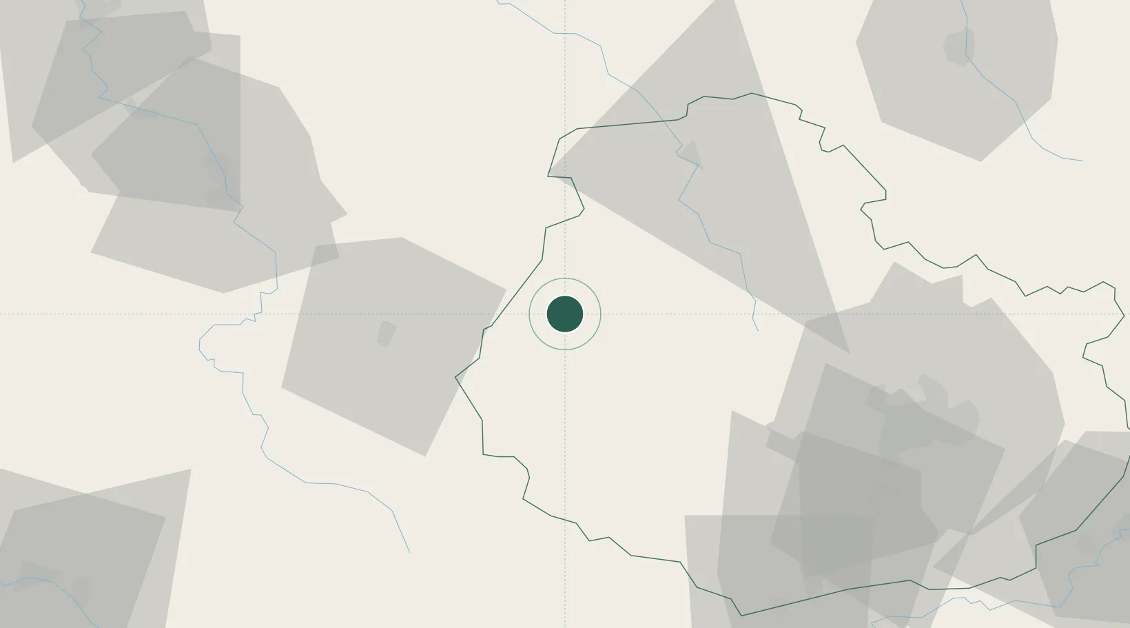
47.5500°, 4.3000°
137
Population
1
Transport functions
Transport Functions
Multimodal
Hub Profile
Place type
Populated place
Region
Bourgogne
Population
137
Time zone
Europe/Paris
Elevation
245 m
Location
Nearby Logistics Neighbours
Cities
- 1Fain-lès-Moutiers7 km
- 2Montbard8 km
- 3Saint-Rémy9 km
- 4Buffon11 km
- 5les Laumes13 km
Ports
- 1Port Of Rouen318 km
- 2Saint-Valery-Sur-Somme353 km
- 3Le Treport353 km
- 4Dieppe355 km
- 5Honfleur366 km
Airports
- 1Dijon Longvic airport67 km
- 2Auxerre Branches airport69 km
- 3Troyes-Barberey Airport88 km
- 4Dole Tavaux Airport102 km
- 5Nevers-Fourchambault Airport108 km
Trade Zones
- 1ZFU Chenôve59 km
- 2ZFU La Chapelle Saint-Luc, Les Noës-près-Troyes, Troyes, Sainte-Savine86 km
- 3ZFU Sens105 km
- 4ZFU Saint-Dizier128 km
- 5ZFU Besancon133 km
DatabookThe Record of Consolidated Knowledge
France beyond logistics?