Transport Functions
Rail
Road
Hub Profile
Place type
District seat
Region
Bourgogne
Population
5,737
Time zone
Europe/Paris
Elevation
226 m
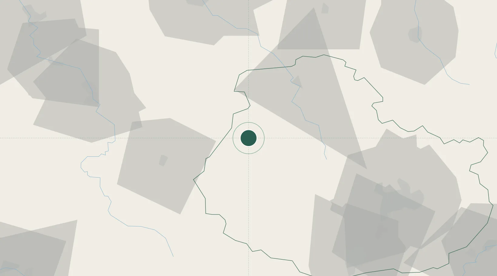
Location
Nearby Logistics Neighbours
Cities
- 1Saint-Rémy3 km
- 2Buffon6 km
- 3Villaines-les-Prévôtes8 km
- 4Fain-lès-Moutiers10 km
- 5les Laumes12 km
Ports
- 1Port Of Rouen315 km
- 2Saint-Valery-Sur-Somme348 km
- 3Le Treport348 km
- 4Dieppe351 km
- 5Bruxelles361 km
Airports
- 1Auxerre Branches airport68 km
- 2Dijon Longvic airport69 km
- 3Troyes-Barberey Airport82 km
- 4Dole Tavaux Airport105 km
- 5Nevers-Fourchambault Airport115 km
Trade Zones
- 1ZFU Chenôve61 km
- 2ZFU La Chapelle Saint-Luc, Les Noës-près-Troyes, Troyes, Sainte-Savine80 km
- 3ZFU Sens102 km
- 4ZFU Saint-Dizier120 km
- 5ZFU Besancon133 km
DatabookThe Record of Consolidated Knowledge
France beyond logistics?