Transport Functions
Port
Multimodal
Hub Profile
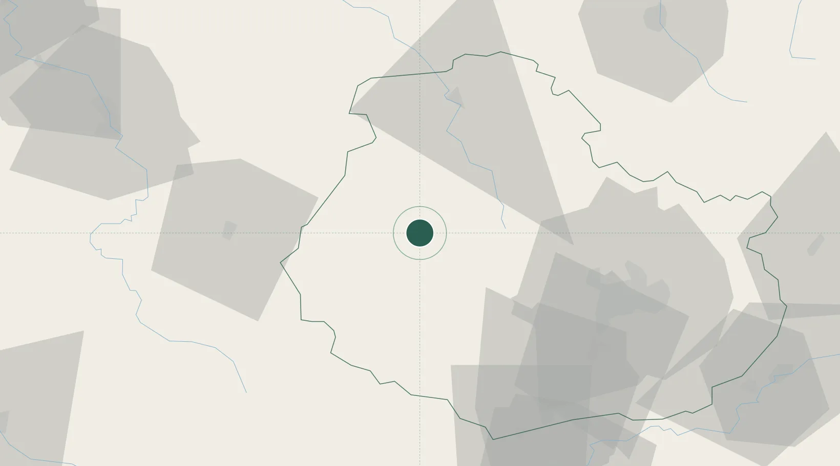
Place type
Populated place
Region
Bourgogne
Population
563
Time zone
Europe/Paris
Elevation
251 m
Location
Nearby Logistics Neighbours
Cities
- 1Flavigny-sur-Ozerain5 km
- 2les Laumes6 km
- 3Villaines-les-Prévôtes14 km
- 4Chanceaux15 km
- 5Montbard16 km
Ports
- 1Port Of Rouen331 km
- 2Saint-Valery-Sur-Somme364 km
- 3Le Treport365 km
- 4Dieppe367 km
- 5Bruxelles375 km
Airports
- 1Dijon Longvic airport54 km
- 2Auxerre Branches airport82 km
- 3Dole Tavaux Airport89 km
- 4Troyes-Barberey Airport97 km
- 5Nevers-Fourchambault Airport116 km
Trade Zones
- 1ZFU Chenôve45 km
- 2ZFU La Chapelle Saint-Luc, Les Noës-près-Troyes, Troyes, Sainte-Savine95 km
- 3ZFU Sens118 km
- 4ZFU Besancon120 km
- 5ZFU Saint-Dizier129 km
DatabookThe Record of Consolidated Knowledge
France beyond logistics?