UN/LOCODE hub · France
FRFSO
Flavigny-sur-Ozerain
47.5000°, 4.5333°
378
Population
1
Transport functions
Transport Functions
Multimodal
Hub Profile
Place type
Populated place
Region
Bourgogne
Population
378
Time zone
Europe/Paris
Elevation
410 m
Location
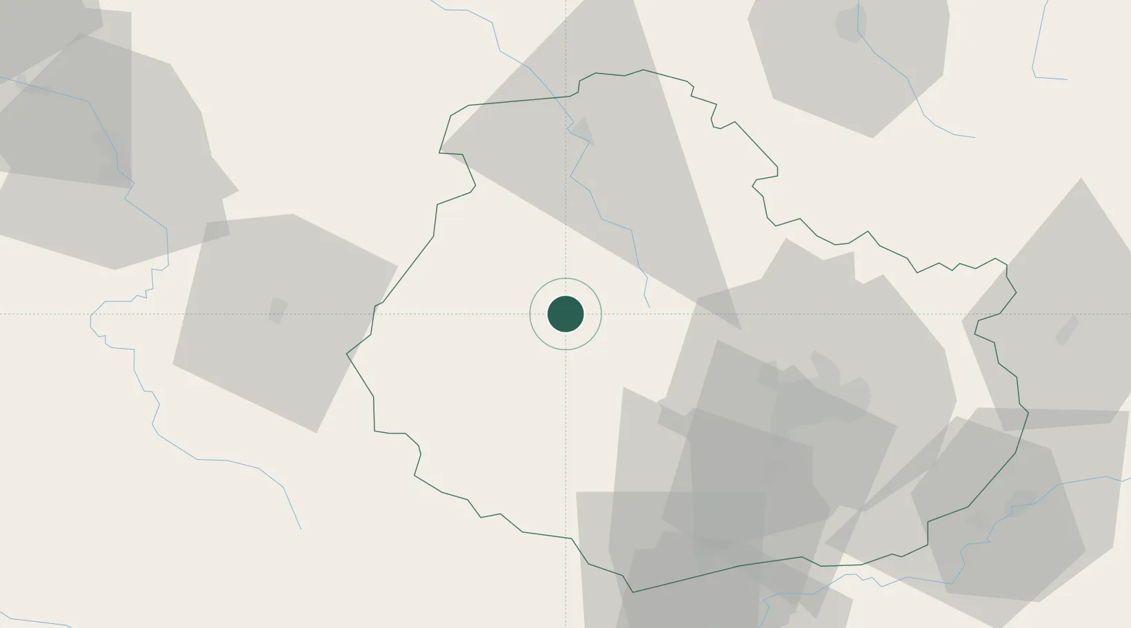
Nearby Logistics Neighbours
Cities
- 1Pouillenay5 km
- 2les Laumes8 km
- 3Chanceaux10 km
- 4Poiseul-la-Ville-et-Laperrière13 km
- 5Villaines-les-Prévôtes18 km
Ports
- 1Port Of Rouen335 km
- 2Saint-Valery-Sur-Somme367 km
- 3Le Treport368 km
- 4Dieppe370 km
- 5Bruxelles375 km
Airports
- 1Dijon Longvic airport49 km
- 2Dole Tavaux Airport85 km
- 3Auxerre Branches airport87 km
- 4Troyes-Barberey Airport99 km
- 5Nevers-Fourchambault Airport121 km
Trade Zones
- 1ZFU Chenôve41 km
- 2ZFU La Chapelle Saint-Luc, Les Noës-près-Troyes, Troyes, Sainte-Savine97 km
- 3ZFU Besancon115 km
- 4ZFU Sens122 km
- 5ZFU Saint-Dizier128 km
DatabookThe Record of Consolidated Knowledge
France beyond logistics?