UN/LOCODE hub · France
FRPO8
Poiseul-la-Ville-et-Laperrière
47.5667°, 4.6667°
189
Population
2
Transport functions
Transport Functions
Road
Multimodal
Hub Profile
Place type
Populated place
Region
Bourgogne
Population
189
Time zone
Europe/Paris
Elevation
397 m
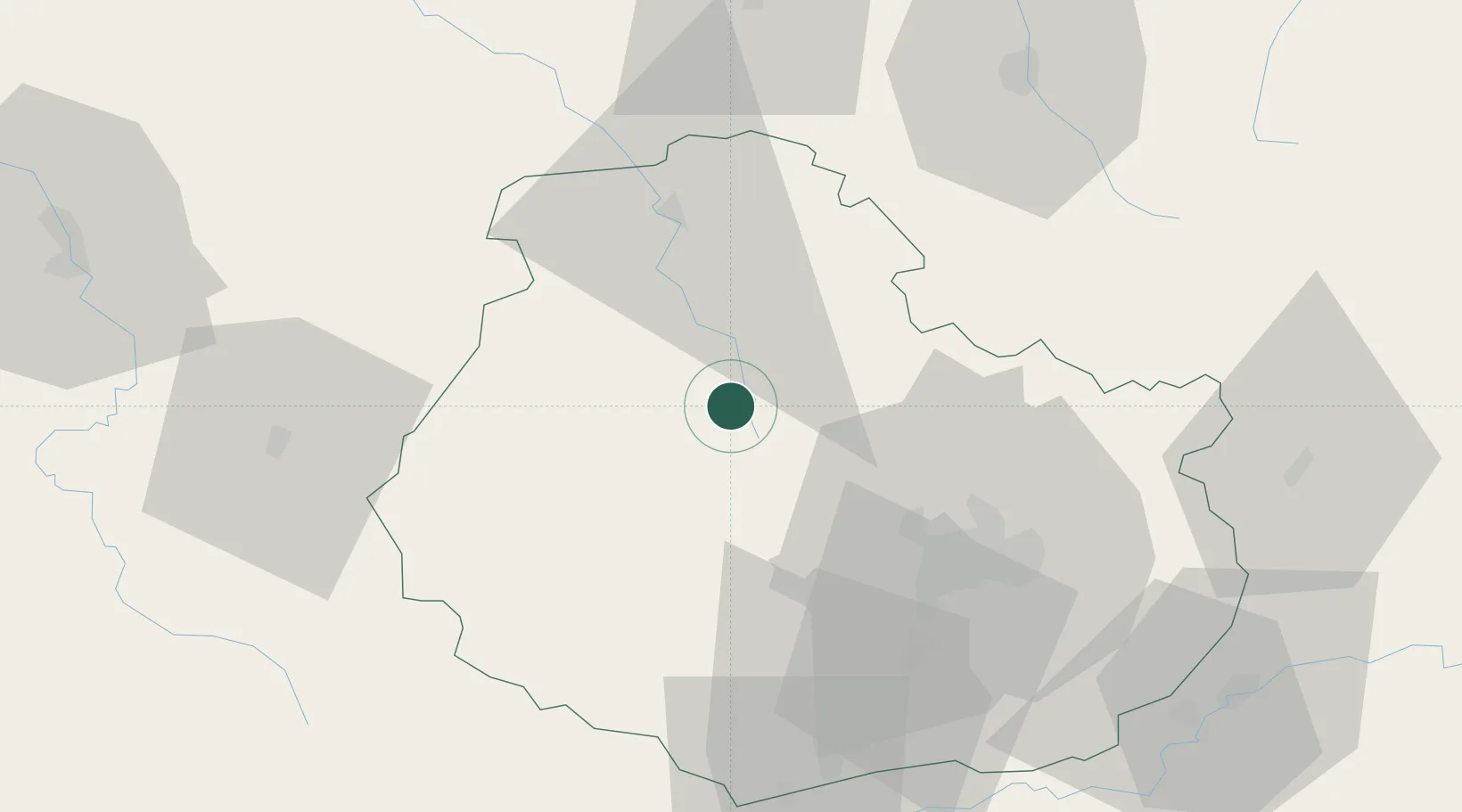
Location
Nearby Logistics Neighbours
Cities
- 1Chanceaux7 km
- 2Flavigny-sur-Ozerain13 km
- 3les Laumes15 km
- 4Pouillenay17 km
- 5Montbard26 km
Ports
- 1Port Of Rouen338 km
- 2Saint-Valery-Sur-Somme367 km
- 3Bruxelles368 km
- 4Le Treport368 km
- 5Dieppe372 km
Airports
- 1Dijon Longvic airport46 km
- 2Dole Tavaux Airport82 km
- 3Auxerre Branches airport93 km
- 4Troyes-Barberey Airport97 km
- 5Vesoul-Frotey Airfield116 km
Trade Zones
- 1ZFU Chenôve39 km
- 2ZFU La Chapelle Saint-Luc, Les Noës-près-Troyes, Troyes, Sainte-Savine95 km
- 3ZFU Besancon107 km
- 4ZFU Saint-Dizier119 km
- 5ZFU Sens126 km
DatabookThe Record of Consolidated Knowledge
France beyond logistics?