UN/LOCODE hub · France
FRZBP
Bazoges-en-Paillers
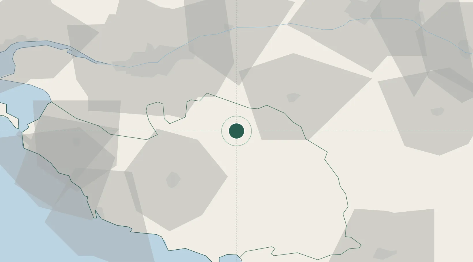
46.9000°, -1.1333°
898
Population
1
Transport functions
Transport Functions
Multimodal
Hub Profile
Place type
Populated place
Region
Pays de la Loire
Population
898
Time zone
Europe/Paris
Elevation
87 m
Location
Nearby Logistics Neighbours
Cities
- 1La Gaubretière6 km
- 2Les Herbiers10 km
- 3La Rabatelière10 km
- 4Chambretaud13 km
- 5L'Herbergement18 km
Ports
- 1Nantes47 km
- 2Les Sables D' Olonne68 km
- 3La Pallice82 km
- 4La Rochelle83 km
- 5Donges84 km
Airports
Trade Zones
- 1ZFU Nantes et Saint-Herblain56 km
- 2ZFU Angers76 km
- 3ZFU La Rochelle82 km
- 4ZFU Saint-Nazaire96 km
- 5ZFU Le Mans153 km
DatabookThe Record of Consolidated Knowledge
France beyond logistics?