Transport Functions
Multimodal
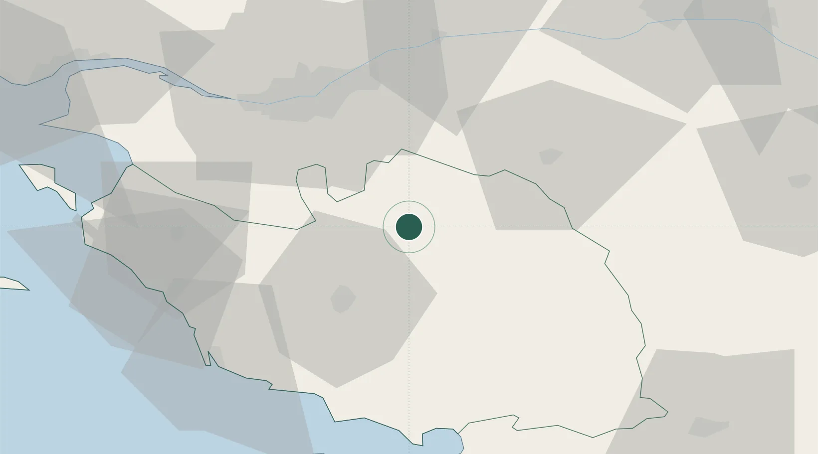
Hub Profile
Place type
Populated place
Region
Pays de la Loire
Population
739
Time zone
Europe/Paris
Elevation
67 m
Location
Nearby Logistics Neighbours
Cities
- 1L'Herbergement10 km
- 2Bazoges-en-Paillers10 km
- 3Saint-Sulpice-le-Verdon13 km
- 4La Gaubretière16 km
- 5Les Herbiers18 km
Ports
- 1Nantes44 km
- 2Les Sables D' Olonne59 km
- 3La Pallice78 km
- 4Donges78 km
- 5La Rochelle80 km
Airports
Trade Zones
- 1ZFU Nantes et Saint-Herblain52 km
- 2ZFU La Rochelle78 km
- 3ZFU Angers84 km
- 4ZFU Saint-Nazaire90 km
- 5ZFU Le Mans162 km
DatabookThe Record of Consolidated Knowledge
France beyond logistics?