Transport Functions
Multimodal
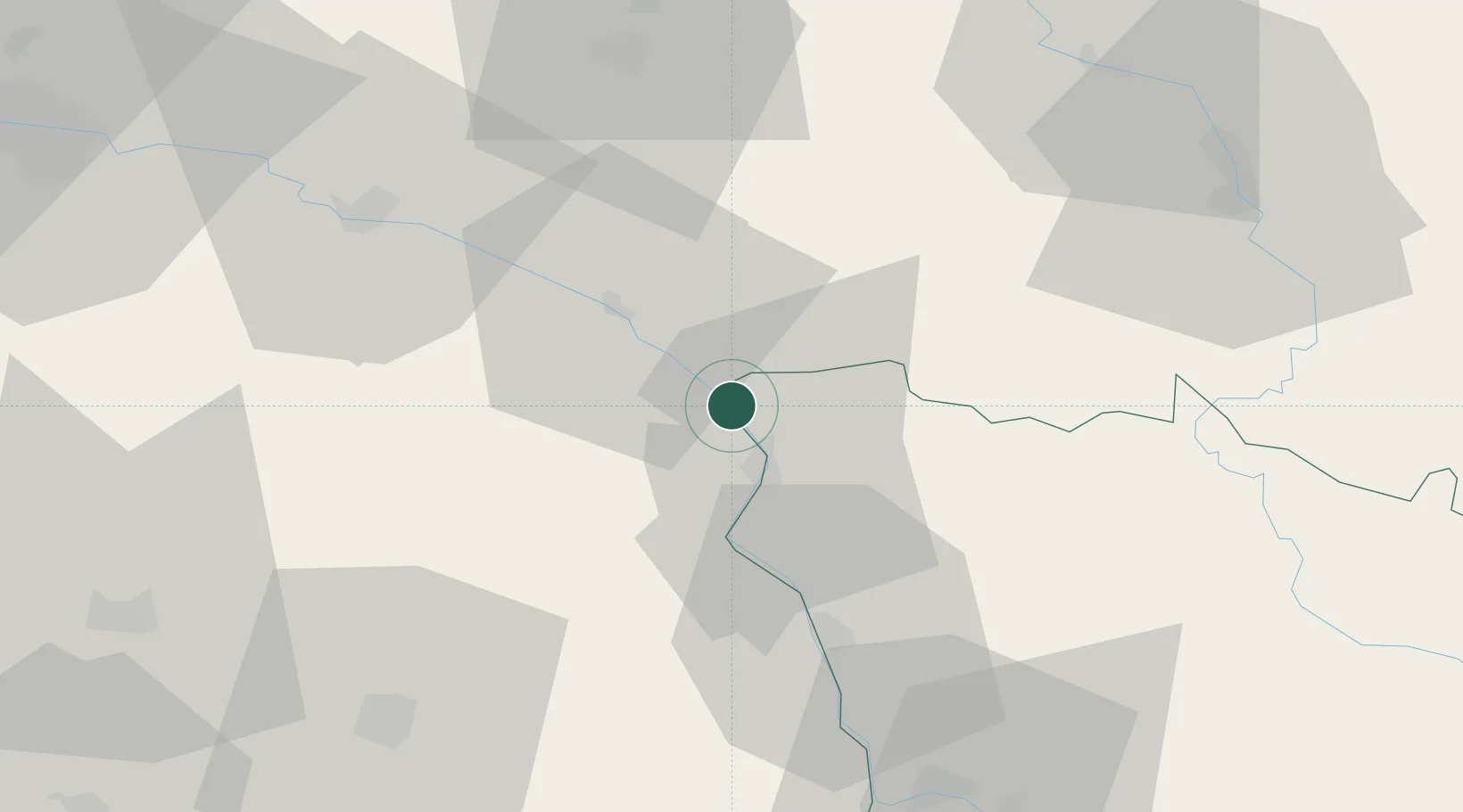
Hub Profile
Place type
Populated place
Region
Bourgogne
Population
1,371
Time zone
Europe/Paris
Elevation
139 m
Location
Nearby Logistics Neighbours
Cities
- 1Léré6 km
- 2Myennes10 km
- 3Savigny-en-Sancerre11 km
- 4Châtillon-sur-Loire13 km
- 5Saint-Père13 km
Ports
- 1Port Of Rouen253 km
- 2Honfleur289 km
- 3Deauville292 km
- 4Port Of Le Havre299 km
- 5Dieppe299 km
Airports
Trade Zones
- 1ZFU Bourges64 km
- 2ZFU Sens81 km
- 3ZFU Orléans87 km
- 4ZFU Montereau-Fault-Yonne97 km
- 5ZFU Melun116 km
DatabookThe Record of Consolidated Knowledge
France beyond logistics?