Transport Functions
Road
Multimodal
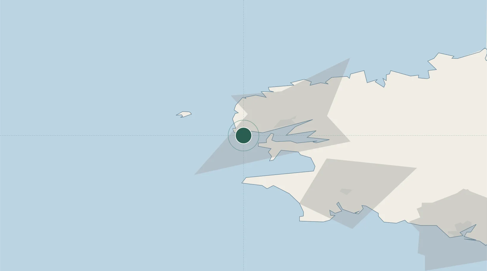
Hub Profile
Place type
Populated place
Region
Brittany
Population
3,009
Time zone
Europe/Paris
Elevation
45 m
Location
Nearby Logistics Neighbours
Cities
- 1Le Conquet5 km
- 2Le Conquet5 km
- 3Lampaul-Plouarzel14 km
- 4Le Fret16 km
- 5Lanildut17 km
Ports
- 1Rade De Brest17 km
- 2Port De Roscoff-Bloscon70 km
- 3Morlaix71 km
- 4Concarneau79 km
- 5Treguier120 km
Airports
- 1Lanvéoc-Poulmic Air Base21 km
- 2Brest Bretagne airport25 km
- 3Ouessant Airport29 km
- 4Landivisiau Air Base47 km
- 5Quimper-Cornouaille Airport57 km
Trade Zones
DatabookThe Record of Consolidated Knowledge
France beyond logistics?