UN/LOCODE hub · France
FRYS8
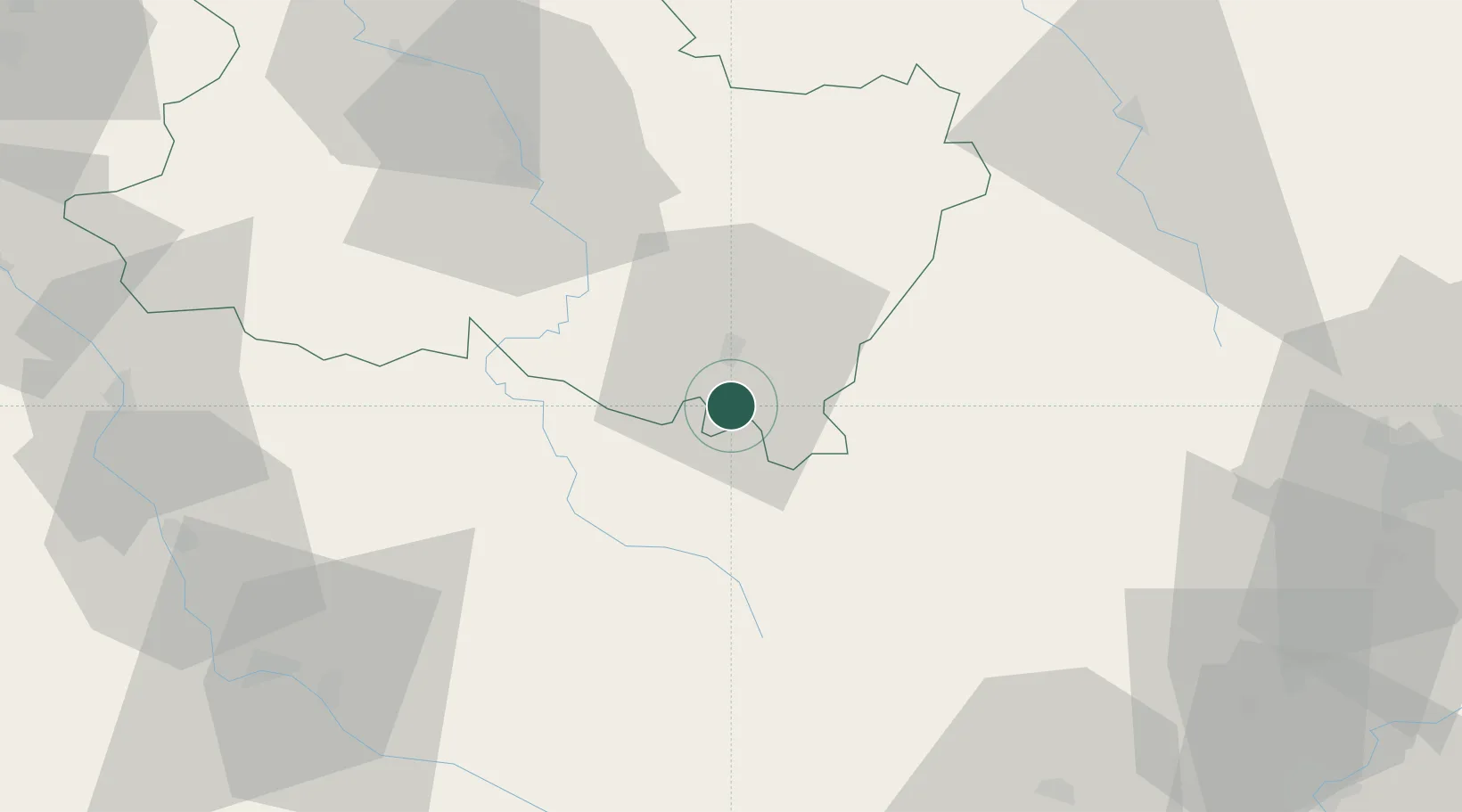
Saint-Germain-des-Champs
47.4167°, 3.9167°
413
Population
1
Transport functions
Transport Functions
Multimodal
Hub Profile
Place type
Populated place
Region
Bourgogne
Population
413
Time zone
Europe/Paris
Elevation
354 m
Location
Nearby Logistics Neighbours
Cities
- 1Tharoiseau10 km
- 2Étaule11 km
- 3Saint-Père13 km
- 4Pouilly13 km
- 5Asquins14 km
Ports
- 1Port Of Rouen309 km
- 2Dieppe349 km
- 3Le Treport349 km
- 4Saint-Valery-Sur-Somme351 km
- 5Honfleur352 km
Airports
- 1Auxerre Branches airport58 km
- 2Nevers-Fourchambault Airport76 km
- 3Dijon Longvic airport90 km
- 4Troyes-Barberey Airport101 km
- 5Avord (BA 702) Air Base105 km
Trade Zones
- 1ZFU Chenôve82 km
- 2ZFU La Chapelle Saint-Luc, Les Noës-près-Troyes, Troyes, Sainte-Savine99 km
- 3ZFU Sens99 km
- 4ZFU Bourges126 km
- 5ZFU Montereau-Fault-Yonne130 km
DatabookThe Record of Consolidated Knowledge
France beyond logistics?