Transport Functions
Rail
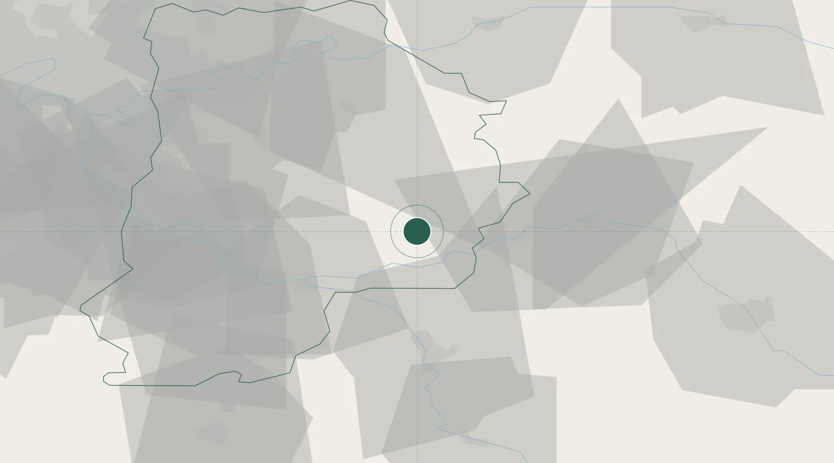
Hub Profile
Place type
Populated place
Region
Île-de-France
Population
1,862
Time zone
Europe/Paris
Elevation
72 m
Location
Nearby Logistics Neighbours
Cities
- 1Jutigny2 km
- 2Poigny3 km
- 3Chalmaison6 km
- 4Les Ormes-sur-Voulzie6 km
- 5Noyen-sur-Seine11 km
Ports
- 1Port Of Rouen190 km
- 2Saint-Valery-Sur-Somme220 km
- 3Le Treport220 km
- 4Dieppe223 km
- 5Honfleur243 km
Airports
Trade Zones
- 1ZFU Montereau-Fault-Yonne27 km
- 2ZFU Sens36 km
- 3ZFU Melun45 km
- 4ZFU Meaux56 km
- 5ZFU Epinay-sous-Sénart59 km
DatabookThe Record of Consolidated Knowledge
France beyond logistics?