Transport Functions
Rail
Road
Multimodal
Hub Profile
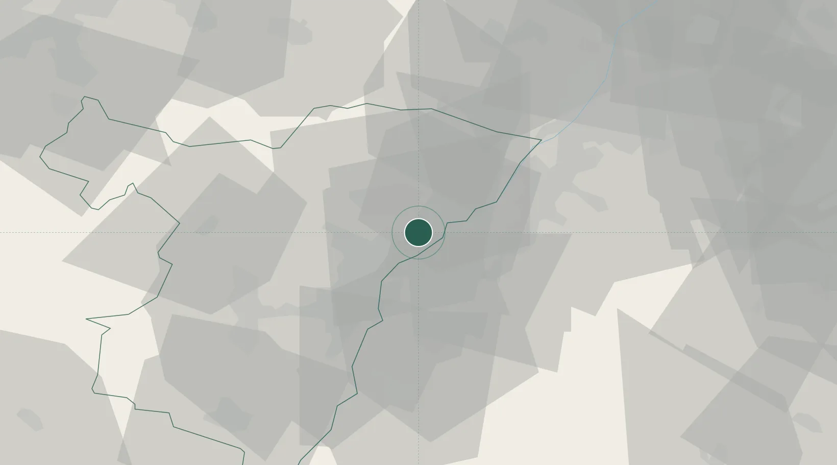
Place type
Populated place
Region
Grand Est
Population
4,428
Time zone
Europe/Paris
Elevation
125 m
Location
Nearby Logistics Neighbours
Cities
- 1Grauelsbaum6 km
- 2Helmlingen6 km
- 3Lichtenau (Baden)7 km
- 4Greffern/Rheinmünster8 km
- 5Rheinmünster8 km
Airports
- 1Karlsruhe Baden-Baden Airport14 km
- 2Strasbourg Airport30 km
- 3Lahr Airport41 km
- 4Phalsbourg-Bourscheid Air Base51 km
- 5Saarbrücken Airport79 km
Trade Zones
- 1ZFU Hautepierre22 km
- 2ZFU Neuhof24 km
- 3ZFU La Cité Behren-lès-Forbach86 km
- 4ZFU Mulhouse117 km
- 5ZFU Maxéville, Laxou, et de Nancy127 km
DatabookThe Record of Consolidated Knowledge
France beyond logistics?