Transport Functions
Port
Road
Hub Profile
Place type
Urban district
Region
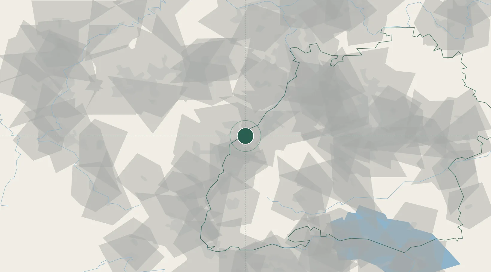
Baden-Wurttemberg
Time zone
Europe/Berlin
Elevation
125 m
Location
Nearby Logistics Neighbours
Cities
- 1Grauelsbaum4 km
- 2Freistett4 km
- 3Lichtenau (Baden)4 km
- 4Greffern/Rheinmünster6 km
- 5Rheinmünster6 km
Airports
- 1Karlsruhe Baden-Baden Airport12 km
- 2Strasbourg Airport31 km
- 3Lahr Airport38 km
- 4Phalsbourg-Bourscheid Air Base57 km
- 5Colmar Houssen airport80 km
Trade Zones
- 1ZFU Neuhof23 km
- 2ZFU Hautepierre23 km
- 3ZFU La Cité Behren-lès-Forbach92 km
- 4ZFU Mulhouse116 km
- 5ZFU Maxéville, Laxou, et de Nancy132 km
DatabookThe Record of Consolidated Knowledge
Germany beyond logistics?