Transport Functions
Multimodal
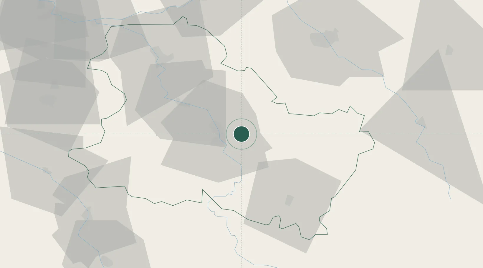
Hub Profile
Place type
Populated place
Region
Bourgogne
Population
308
Time zone
Europe/Paris
Elevation
252 m
Location
Nearby Logistics Neighbours
Cities
- 1Penmarch2 km
- 2Lignorelles3 km
- 3Beine3 km
- 4Montigny-la-Resle4 km
- 5La Chapelle-Vaupelteigne5 km
Ports
- 1Port Of Rouen263 km
- 2Le Treport300 km
- 3Dieppe301 km
- 4Saint-Valery-Sur-Somme302 km
- 5Honfleur310 km
Airports
- 1Auxerre Branches airport14 km
- 2Troyes-Barberey Airport60 km
- 3Nevers-Fourchambault Airport102 km
- 4Chalons Vatry airport111 km
- 5Melun-Villaroche Airfield114 km
Trade Zones
- 1ZFU Sens51 km
- 2ZFU La Chapelle Saint-Luc, Les Noës-près-Troyes, Troyes, Sainte-Savine58 km
- 3ZFU Montereau-Fault-Yonne83 km
- 4ZFU Melun111 km
- 5ZFU Chenôve115 km
DatabookThe Record of Consolidated Knowledge
France beyond logistics?