UN/LOCODE hub · France
FRHHR

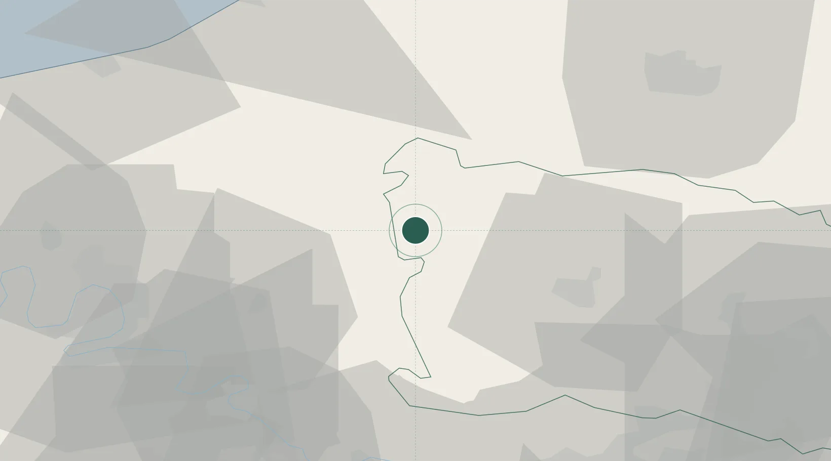
Héricourt-sur-Thérain

49.5667°, 1.7500°
115
Population
1
Transport functions

Transport Functions

Multimodal
UN/LOCODE

Hub Profile

Place type
Populated place
GeoNames
Region
Hauts-de-France
GeoNames
Population
115
GeoNames
Time zone
Europe/Paris
GeoNames
Elevation
147 m
GeoNames

Location

Location of FRHHR
Natural Earth 10m (public domain) · Hauts-de-France · FRHHR · 49.57, 1.75GoogleOSMYandex

Nearby Logistics Neighbours

Cities
  1. 1Bonnieres8 km
  2. 2Lachapelle-aux-Pots16 km
  3. 3Aumale22 km
  4. 4Caulières26 km
  5. 5Beauvais28 km
Nearest neighbours — logibook spatial index (haversine) over the source coordinates
Ports
  1. 1Port Of Rouen51 km
  2. 2Le Treport62 km
  3. 3Dieppe63 km
  4. 4Saint-Valery-Sur-Somme69 km
  5. 5Fecamp102 km
Nearest neighbours — logibook spatial index (haversine) over the source coordinates
Airports
  1. 1Beauvais-Tillé airport29 km
  2. 2Rouen Vallée de Seine Airport46 km
  3. 3Pontoise-Cormeilles Aerodrome56 km
  4. 4Amiens Glisy Airfield57 km
  5. 5Abbeville-Buigny Baie de Somme Airfield64 km
Nearest neighbours — logibook spatial index (haversine) over the source coordinates
Trade Zones
  1. 1ZFU Beauvais26 km
  2. 2ZFU Amiens44 km
  3. 3ZFU Rouen Bihorel49 km
  4. 4ZFU Creil et Montataire59 km
  5. 5ZFU Mantes-la-Jolie64 km
Nearest neighbours — logibook spatial index (haversine) over the source coordinates
DatabookThe Record of Consolidated Knowledge
France beyond logistics?
Browse databook

All Sources

LocationsUN/LOCODE
UN/LOCODE — free
LocationsGeoNames
CC BY 4.0
Portsthe NGA World Port Index
Public domain (US gov)
AirportsOurAirports
Public domain
Trade Zonesthe World Bank SEZ database
CC BY 4.0
Trade ZonesOpen Zone Map
CC BY
← France locations