Economic Revitalization Project · France

ZFU Mantes-la-Jolie Active
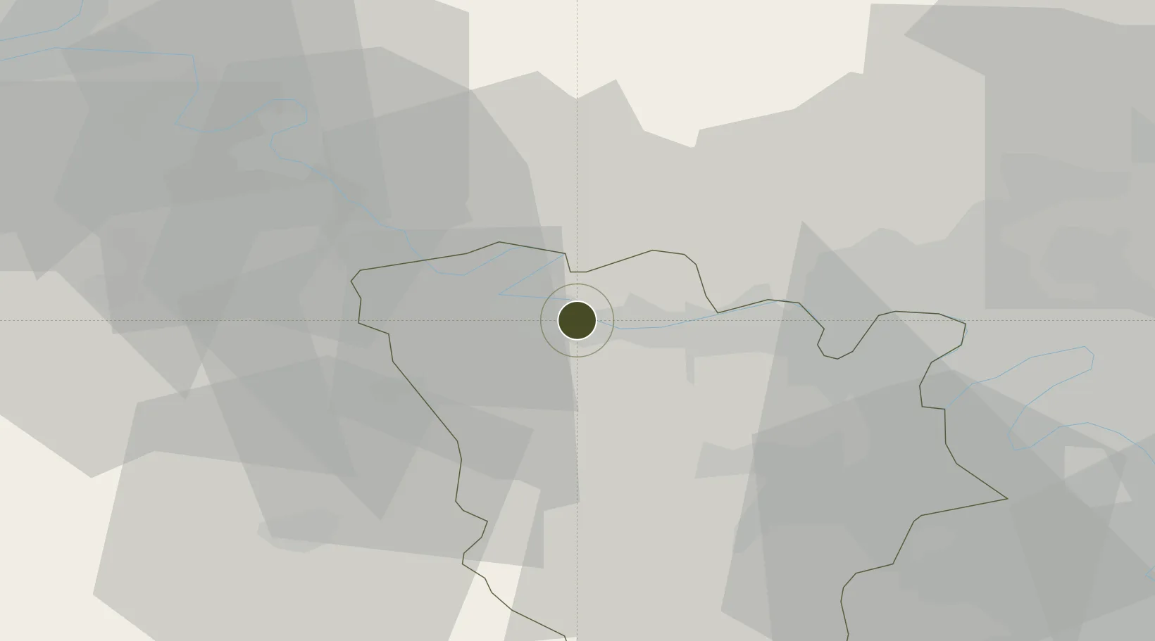
48.9891°, 1.7132°
165 ha
Zone area
69.5 km
Nearest port
26.3 km
Nearest airport

Gateway access

Nearest neighbours — logibook spatial index (haversine) over the source coordinates

Zone profile

Zone type
Economic Revitalization Project
Open Zone Map
Region
Yvelines
Open Zone Map
Status
Active
Open Zone Map
Management
Public
Open Zone Map
Operator
Mairie de Mantes-la-Jolie
Open Zone Map
Legal framework
Décret no 65-939 du 8 novembre 1965, Décret du 9 Octobre 2008
Open Zone Map

Location

Location of ozm-1981
Natural Earth 10m (public domain) · Yvelines · ozm-1981 · 48.99, 1.71GoogleOSMYandex

Nearby Logistics Neighbours

Ports
  1. 1Port Of Rouen70 km
  2. 2Dieppe114 km
  3. 3Honfleur119 km
  4. 4Le Treport122 km
  5. 5Deauville126 km
Nearest neighbours — logibook spatial index (haversine) over the source coordinates
Airports
  1. 1Pontoise-Cormeilles Aerodrome26 km
  2. 2Évreux-Fauville (BA 105) Air Base36 km
  3. 3Toussus-le-Noble Airport39 km
  4. 4Vélizy-Villacoublay Air Base43 km
  5. 5Paris-Le Bourget International Airport53 km
Nearest neighbours — logibook spatial index (haversine) over the source coordinates
Cities
  1. 1Mantes-la-Jolie1 km
  2. 2Limay3 km
  3. 3Magnanville3 km
  4. 4Guerville5 km
  5. 5Saint-Martin-la-Garenne5 km
Nearest neighbours — logibook spatial index (haversine) over the source coordinates
Trade Zones
  1. 1ZFU Les Mureaux13 km
  2. 2ZFU Trappes32 km
  3. 3ZFU Sartrouville33 km
  4. 4ZFU Dreux et Sainte-Gemme-Moronval36 km
  5. 5ZFU Argenteuil38 km
Nearest neighbours — logibook spatial index (haversine) over the source coordinates
DatabookThe Record of Consolidated Knowledge
France beyond logistics?
Browse databook

All Sources

Trade ZonesOpen Zone Map
CC BY
Portsthe NGA World Port Index
Public domain (US gov)
AirportsOurAirports
Public domain
LocationsUN/LOCODE
UN/LOCODE — free
← France trade zones