Medium airport · France

Pontoise-Cormeilles AerodromeLFPT
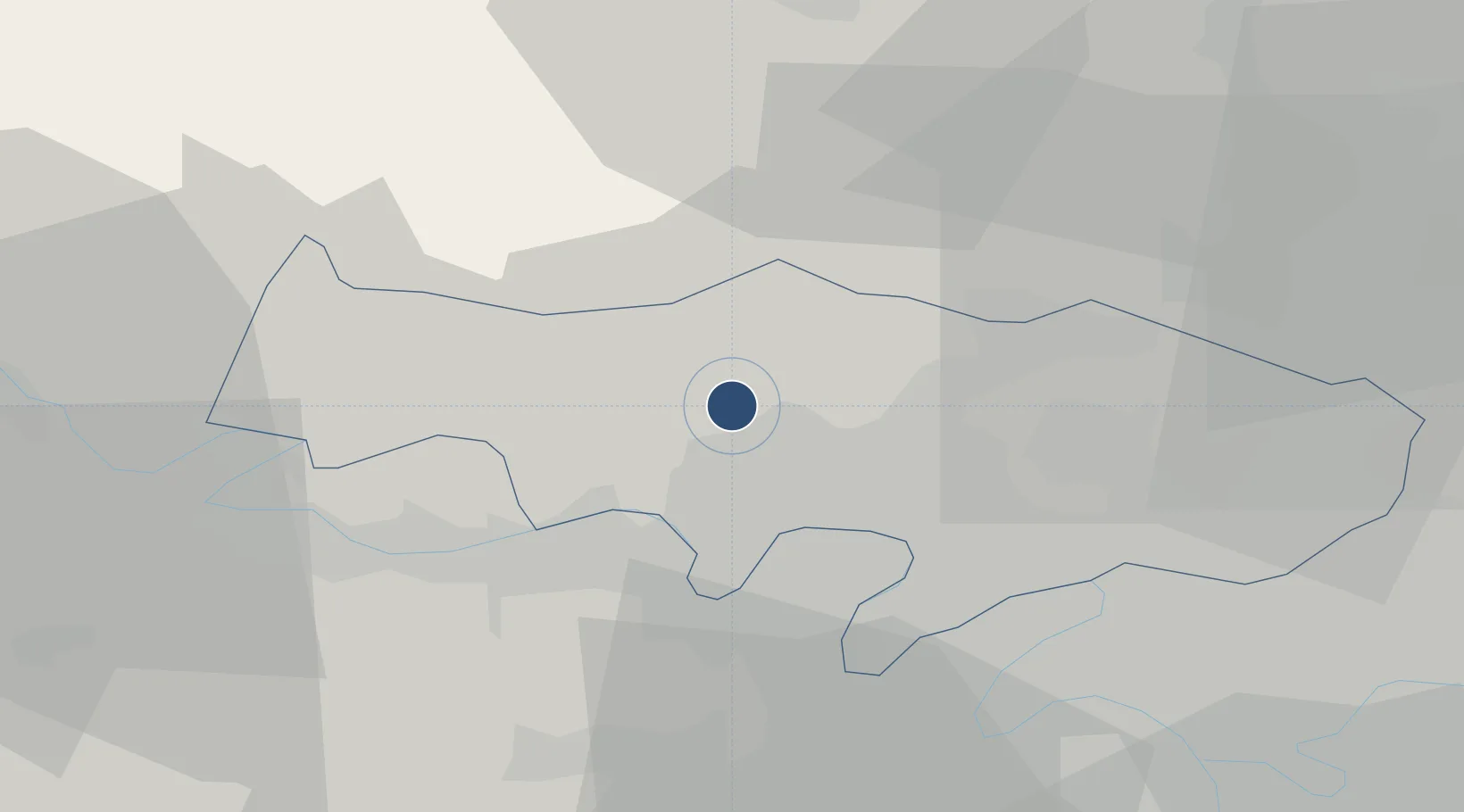
49.0961°, 2.0355°
5,541 ft
Longest runway
2
Runways
325 ft
Elevation

Runway & Layout

Pontoise-Cormeilles Aerodrome runway & taxiway layout
Runway & taxiway layout — OpenStreetMap (ODbL) / OurAirports

Radio Frequencies

ATIS
124.125 MHz
TWR
121.2 MHz
PONTOISE TWR
APP
118.8 MHz
PONTOISE APP
OurAirports

Navaids

PON VOR Pontoise 111.60 MHz
OurAirports

Runways · 2

RunwayDimensions SurfaceTrue headingLit
04/22 5,541 × 154ft Asphalt 045°
12/30 5,079 × 148ft Asphalt 118°
OurAirports

Airport Specifications

IATA code
POX
OurAirports
ICAO code
LFPT
OurAirports
Airport class
Medium airport
OurAirports
Scheduled service
No
OurAirports
Runway surface
Asphalt
OurAirports
Served city
Cormeilles-en-Vexin, Val-d'Oise
OurAirports

Location

Location of LFPT
Natural Earth 10m (public domain) · Val-d'Oise · LFPT · 49.10, 2.04GoogleOSMYandex

Nearby Logistics Neighbours

Airports
  1. 1Paris-Le Bourget International Airport33 km
  2. 2Vélizy-Villacoublay Air Base38 km
  3. 3Toussus-le-Noble Airport39 km
  4. 4Charles de Gaulle International Airport39 km
  5. 5Creil Air Base39 km
Nearest neighbours — logibook spatial index (haversine) over the source coordinates
Cities
  1. 1Boissy-l'Aillerie3 km
  2. 2Livilliers5 km
  3. 3Cergy8 km
  4. 4Le Heaulme8 km
  5. 5Jouy-le-Moutier9 km
Nearest neighbours — logibook spatial index (haversine) over the source coordinates
Ports
  1. 1Port Of Rouen81 km
  2. 2Dieppe116 km
  3. 3Le Treport118 km
  4. 4Saint-Valery-Sur-Somme125 km
  5. 5Honfleur137 km
Nearest neighbours — logibook spatial index (haversine) over the source coordinates
Trade Zones
  1. 1ZFU Les Mureaux16 km
  2. 2ZFU Sartrouville20 km
  3. 3ZFU Argenteuil22 km
  4. 4ZFU Epinay-sur-Seine25 km
  5. 5ZFU Mantes-la-Jolie26 km
Nearest neighbours — logibook spatial index (haversine) over the source coordinates
DatabookThe Record of Consolidated Knowledge
France beyond logistics?
Browse databook

All Sources

AirportsOurAirports
Public domain
Portsthe NGA World Port Index
Public domain (US gov)
LocationsUN/LOCODE
UN/LOCODE — free
Trade Zonesthe World Bank SEZ database
CC BY 4.0
Trade ZonesOpen Zone Map
CC BY
InfrastructureOpenStreetMap
ODbL 1.0
← France airports