UN/LOCODE hub · France
FRLXP
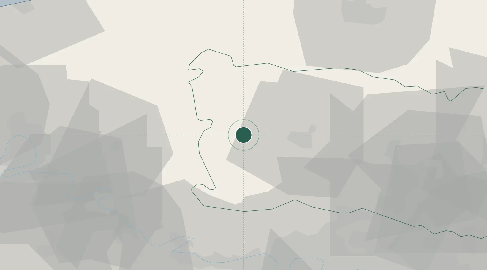
Lachapelle-aux-Pots
49.4500°, 1.8833°
1,614
Population
2
Transport functions
Transport Functions
Road
Multimodal
Hub Profile
Place type
Populated place
Region
Hauts-de-France
Population
1,614
Time zone
Europe/Paris
Elevation
110 m
Location
Nearby Logistics Neighbours
Cities
- 1Bonnieres10 km
- 2Beauvais15 km
- 3Héricourt-sur-Thérain16 km
- 4Tillé17 km
- 5Trie-Château19 km
Ports
- 1Port Of Rouen59 km
- 2Le Treport78 km
- 3Dieppe79 km
- 4Saint-Valery-Sur-Somme84 km
- 5Fecamp115 km
Airports
- 1Beauvais-Tillé airport17 km
- 2Pontoise-Cormeilles Aerodrome41 km
- 3Creil Air Base51 km
- 4Rouen Vallée de Seine Airport52 km
- 5Amiens Glisy Airfield59 km
Trade Zones
- 1ZFU Beauvais12 km
- 2ZFU Creil et Montataire44 km
- 3ZFU Amiens51 km
- 4ZFU Les Mureaux51 km
- 5ZFU Mantes-la-Jolie53 km
DatabookThe Record of Consolidated Knowledge
France beyond logistics?