Transport Functions
Multimodal
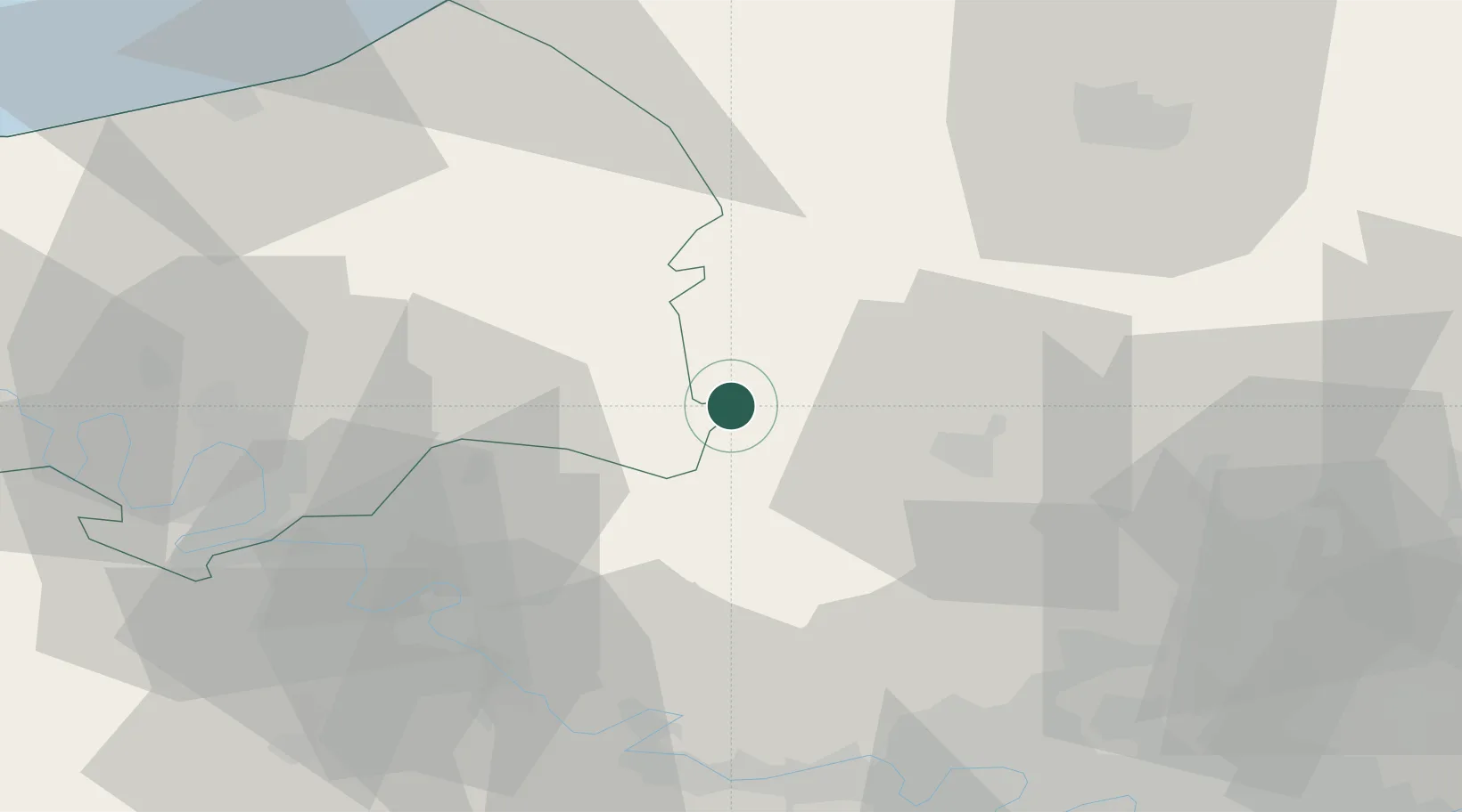
Hub Profile
Place type
Populated place
Region
Hauts-de-France
Population
169
Time zone
Europe/Paris
Elevation
94 m
Location
Nearby Logistics Neighbours
Cities
- 1Héricourt-sur-Thérain8 km
- 2Lachapelle-aux-Pots10 km
- 3Bézu-Saint-Éloi23 km
- 4Bernouville23 km
- 5Beauvais24 km
Ports
- 1Port Of Rouen51 km
- 2Dieppe69 km
- 3Le Treport69 km
- 4Saint-Valery-Sur-Somme77 km
- 5Fecamp105 km
Airports
- 1Beauvais-Tillé airport26 km
- 2Rouen Vallée de Seine Airport44 km
- 3Pontoise-Cormeilles Aerodrome49 km
- 4Amiens Glisy Airfield61 km
- 5Creil Air Base61 km
Trade Zones
- 1ZFU Beauvais22 km
- 2ZFU Rouen Bihorel49 km
- 3ZFU Amiens50 km
- 4ZFU Creil et Montataire54 km
- 5ZFU Mantes-la-Jolie57 km
DatabookThe Record of Consolidated Knowledge
France beyond logistics?