Economic Revitalization Project · France

ZFU Creil et Montataire Active
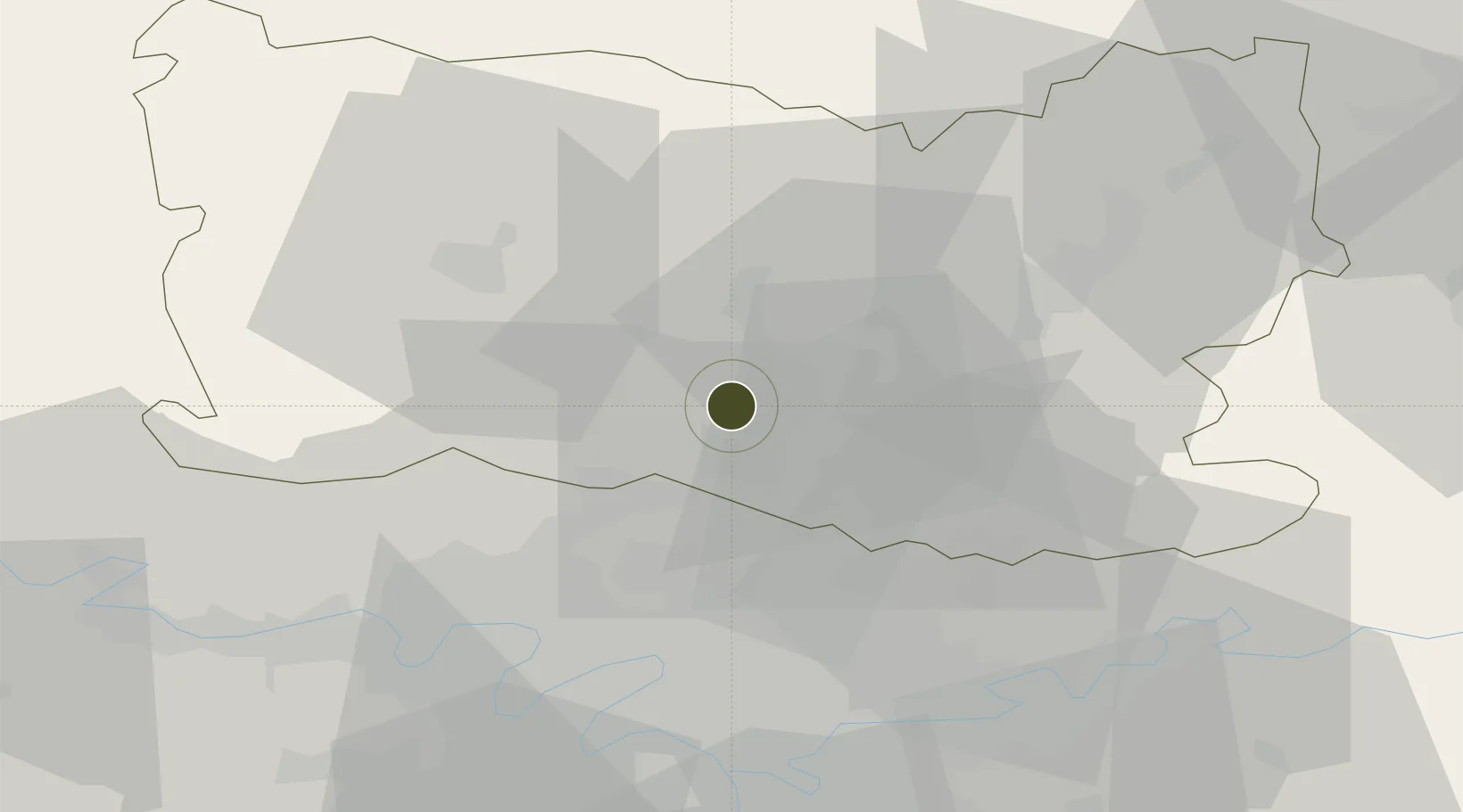
49.2629°, 2.4125°
141 ha
Zone area
99.7 km
Nearest port
7.8 km
Nearest airport

Gateway access

Nearest neighbours — logibook spatial index (haversine) over the source coordinates

Zone profile

Zone type
Economic Revitalization Project
Open Zone Map
Region
Oise
Open Zone Map
Status
Active
Open Zone Map
Management
Public
Open Zone Map
Operator
Ville de Montataire
Open Zone Map
Legal framework
Décret no 65-939 du 8 novembre 1965, Décret du 9 Octobre 2008
Open Zone Map

Location

Location of ozm-1969
Natural Earth 10m (public domain) · Oise · ozm-1969 · 49.26, 2.41GoogleOSMYandex

Nearby Logistics Neighbours

Ports
  1. 1Port Of Rouen100 km
  2. 2Le Treport117 km
  3. 3Saint-Valery-Sur-Somme117 km
  4. 4Dieppe121 km
  5. 5Fecamp158 km
Nearest neighbours — logibook spatial index (haversine) over the source coordinates
Airports
  1. 1Creil Air Base8 km
  2. 2Charles de Gaulle International Airport30 km
  3. 3Beauvais-Tillé airport30 km
  4. 4Pontoise-Cormeilles Aerodrome33 km
  5. 5Paris-Le Bourget International Airport34 km
Nearest neighbours — logibook spatial index (haversine) over the source coordinates
Cities
  1. 1Cires-lès-Mello3 km
  2. 2Nogent-sur-Oise4 km
  3. 3Saint-Leu-d'Esserent5 km
  4. 4Creil5 km
  5. 5Villers-Saint-Paul6 km
Nearest neighbours — logibook spatial index (haversine) over the source coordinates
Trade Zones
  1. 1ZFU Villiers-le-Bel28 km
  2. 2ZFU Garges-lès-Gonesse et Sarcelles32 km
  3. 3ZFU Beauvais33 km
  4. 4ZFU Stains34 km
  5. 5ZFU Epinay-sur-Seine35 km
Nearest neighbours — logibook spatial index (haversine) over the source coordinates
DatabookThe Record of Consolidated Knowledge
France beyond logistics?
Browse databook

All Sources

Trade ZonesOpen Zone Map
CC BY
Portsthe NGA World Port Index
Public domain (US gov)
AirportsOurAirports
Public domain
LocationsUN/LOCODE
UN/LOCODE — free
← France trade zones