Transport Functions
Rail
Road
Airport
Hub Profile
Place type
Provincial seat
Region
Hauts-de-France
Population
53,393
Time zone
Europe/Paris
Elevation
71 m
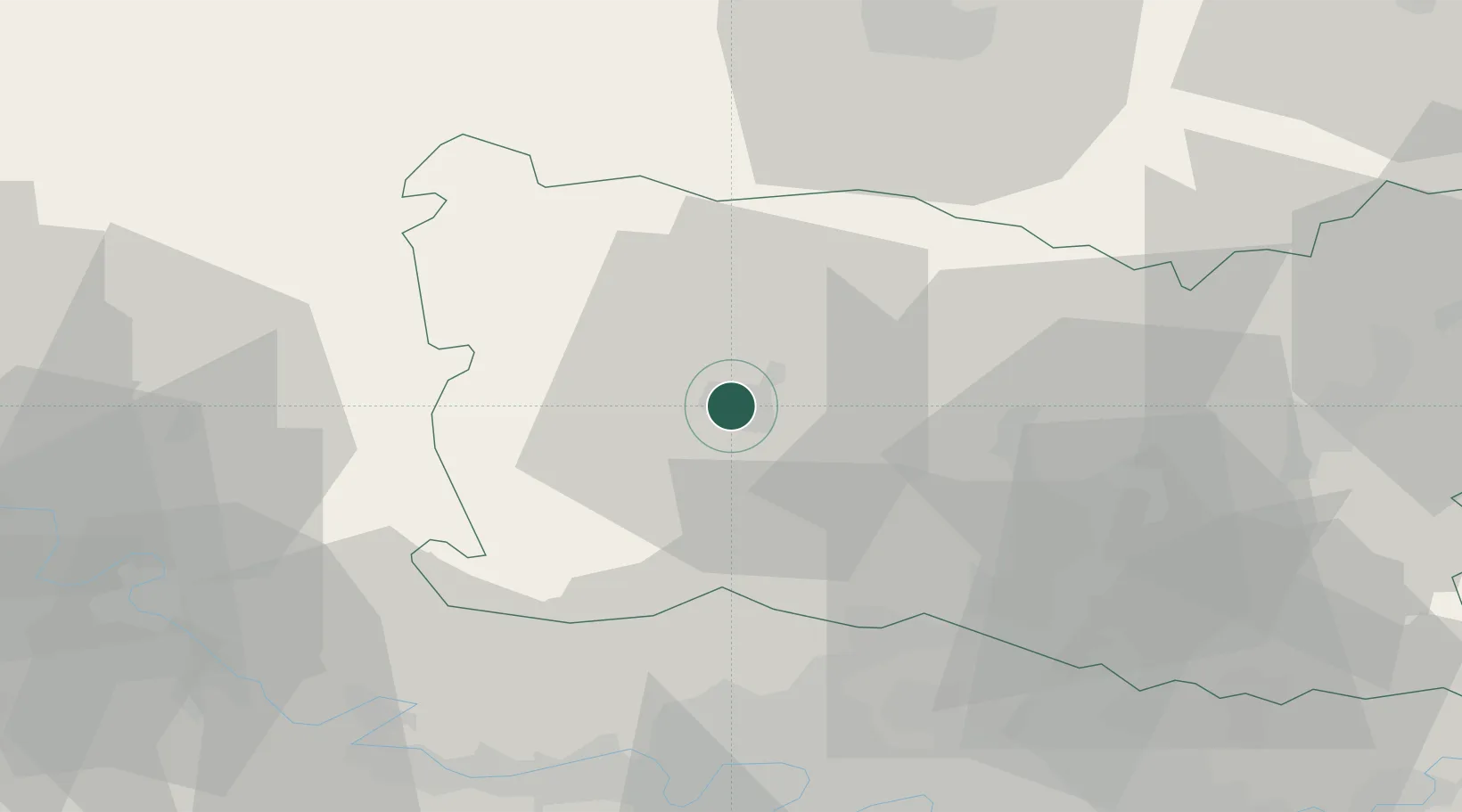
Location
Nearby Logistics Neighbours
Cities
- 1Tillé4 km
- 2Villers-Saint-Sépulcre11 km
- 3Berthecourt13 km
- 4Reuil-sur-Brêche13 km
- 5Lachapelle-aux-Pots15 km
Ports
- 1Port Of Rouen74 km
- 2Le Treport87 km
- 3Saint-Valery-Sur-Somme90 km
- 4Dieppe91 km
- 5Fecamp129 km
Airports
Trade Zones
- 1ZFU Beauvais3 km
- 2ZFU Creil et Montataire31 km
- 3ZFU Amiens50 km
- 4ZFU Les Mureaux51 km
- 5ZFU Villiers-le-Bel52 km
DatabookThe Record of Consolidated Knowledge
France beyond logistics?