Transport Functions
Multimodal
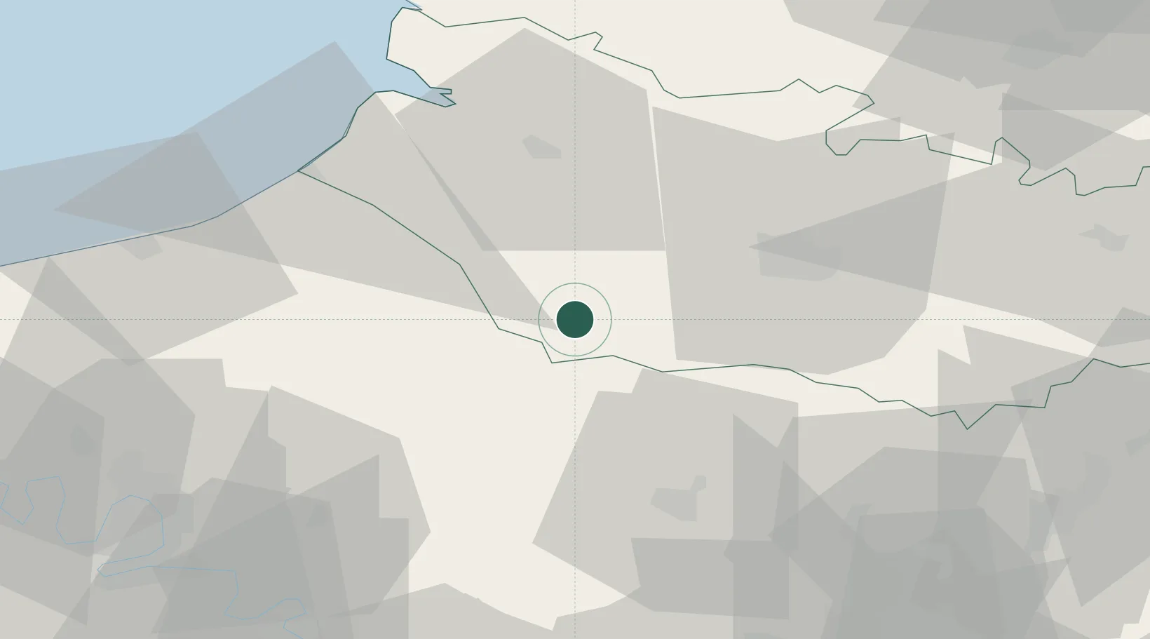
Hub Profile
Place type
Populated place
Region
Hauts-de-France
Population
190
Time zone
Europe/Paris
Elevation
188 m
Location
Nearby Logistics Neighbours
Cities
- 1Aumale11 km
- 2Beaucamps-le-Vieux11 km
- 3Vieux-Rouen-sur-Bresle14 km
- 4Luilly19 km
- 5Tilloy-lès-Conty21 km
Ports
- 1Saint-Valery-Sur-Somme49 km
- 2Le Treport50 km
- 3Dieppe61 km
- 4Port Of Rouen71 km
- 5Boulogne-Sur-Mer108 km
Airports
Trade Zones
- 1ZFU Amiens19 km
- 2ZFU Beauvais39 km
- 3ZFU Rouen Bihorel68 km
- 4ZFU Creil et Montataire69 km
- 5ZFU Les Mureaux89 km
DatabookThe Record of Consolidated Knowledge
France beyond logistics?