UN/LOCODE hub · France
FRZIS

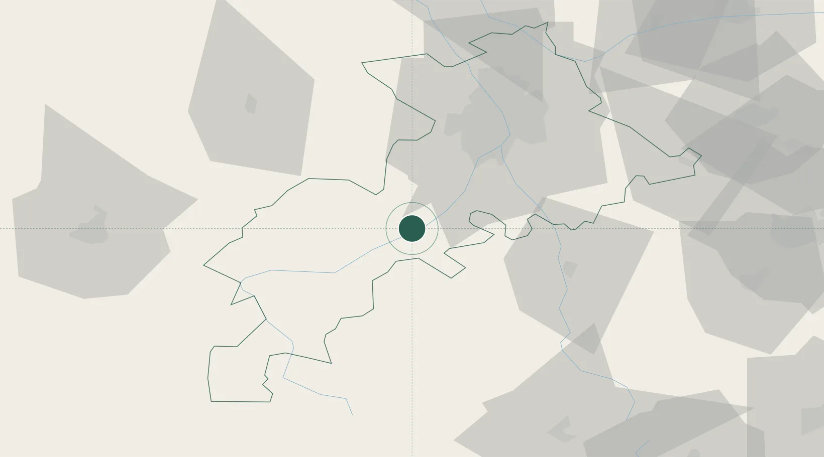
Lavelanet-de-Comminges

43.2500°, 1.1167°
533
Population
1
Transport functions

Transport Functions

Multimodal
UN/LOCODE

Hub Profile

Place type
Populated place
GeoNames
Region
Occitanie
GeoNames
Population
533
GeoNames
Time zone
Europe/Paris
GeoNames
Elevation
252 m
GeoNames

Location

Location of FRZIS
Natural Earth 10m (public domain) · Occitanie · FRZIS · 43.25, 1.12GoogleOSMYandex

Nearby Logistics Neighbours

Cities
  1. 1Bours10 km
  2. 2Boussens14 km
  3. 3Lherm22 km
  4. 4Sentaraille24 km
  5. 5Beaumont-sur-Lèze25 km
Nearest neighbours — logibook spatial index (haversine) over the source coordinates
Ports
  1. 1Port-La-Nouvelle160 km
  2. 2Port-Vendres182 km
  3. 3Rosas201 km
  4. 4Sete210 km
  5. 5Bayonne211 km
Nearest neighbours — logibook spatial index (haversine) over the source coordinates
Airports
  1. 1Aérodrome de Saint-Girons - Antichan27 km
  2. 2Toulouse-Francazal (BA 101) Air Base39 km
  3. 3Toulouse-Blagnac Airport47 km
  4. 4Auch Gers Airfield64 km
  5. 5Tarbes-Lourdes-Pyrénées Airport91 km
Nearest neighbours — logibook spatial index (haversine) over the source coordinates
Trade Zones
  1. 1ZFU Toulouse47 km
  2. 2ZFU Perpignan157 km
  3. 3ZFU Béziers170 km
  4. 4ZFU Hauts de Garonne222 km
  5. 5ZFU Montpellier224 km
Nearest neighbours — logibook spatial index (haversine) over the source coordinates
DatabookThe Record of Consolidated Knowledge
France beyond logistics?
Browse databook

All Sources

LocationsUN/LOCODE
UN/LOCODE — free
LocationsGeoNames
CC BY 4.0
Portsthe NGA World Port Index
Public domain (US gov)
AirportsOurAirports
Public domain
Trade Zonesthe World Bank SEZ database
CC BY 4.0
Trade ZonesOpen Zone Map
CC BY
← France locations