Transport Functions
Road
Multimodal
Hub Profile
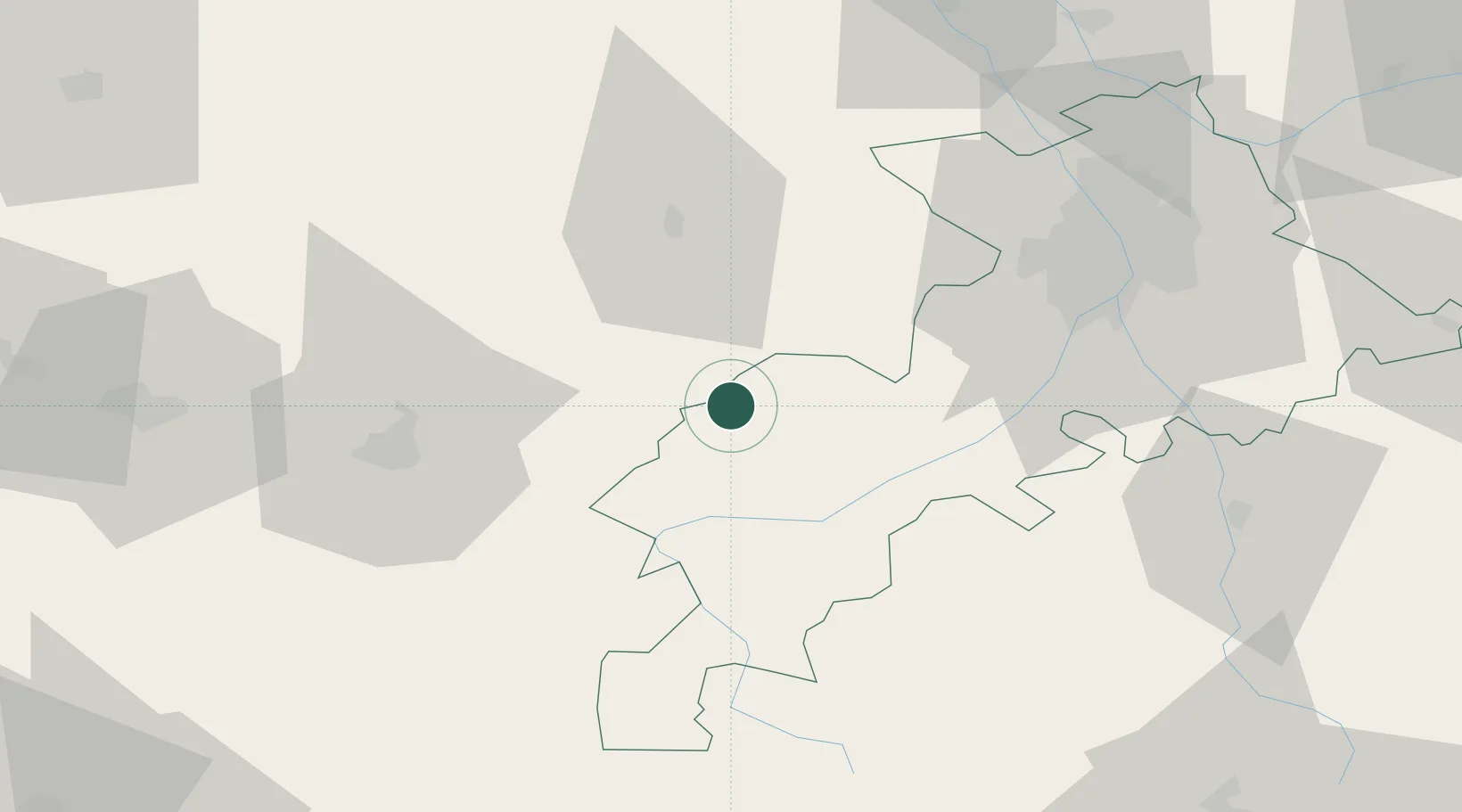
Place type
Populated place
Region
Occitanie
Population
223
Time zone
Europe/Paris
Elevation
330 m
Location
Nearby Logistics Neighbours
Cities
- 1Blajan7 km
- 2Villeneuve-de-Rivière21 km
- 3Ornézan24 km
- 4Bours25 km
- 5Boussens26 km
Ports
- 1Bayonne176 km
- 2Port-La-Nouvelle195 km
- 3Bordeaux200 km
- 4Puerto De Pasajes213 km
- 5Ambes213 km
Airports
Trade Zones
- 1ZFU Toulouse68 km
- 2ZFU Perpignan191 km
- 3ZFU Hauts de Garonne197 km
- 4Port de Bordeaux203 km
- 5ZFU Béziers204 km
DatabookThe Record of Consolidated Knowledge
France beyond logistics?