Medium airport · France

Tarbes-Lourdes-Pyrénées AirportLFBT
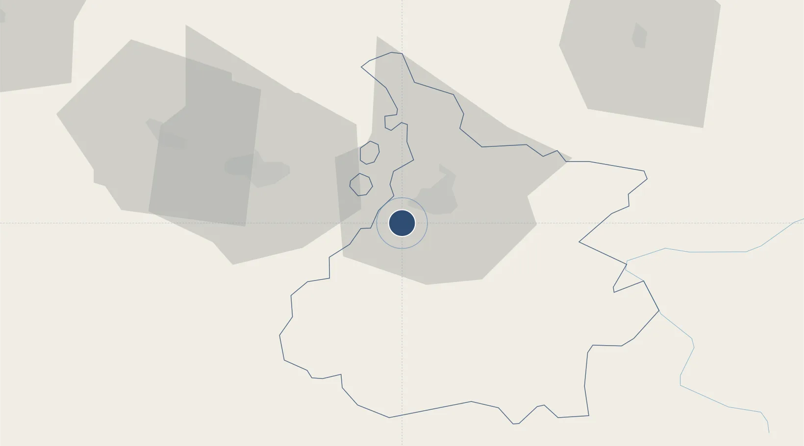
43.1787°, -0.0064°
9,843 ft
Longest runway
1
Runways
1,260 ft
Elevation

Runway & Layout

Tarbes-Lourdes-Pyrénées Airport runway & taxiway layout
Runway & taxiway layout — OpenStreetMap (ODbL) / OurAirports

Radio Frequencies

ATIS
125.95 MHz
TWR
119.05 MHz
GND
121.8 MHz
APP
120.3 MHz
APP
121.175 MHz
PYRENEES APP
OurAirports

Navaids

TAN VOR Lahitte 111.80 MHz
TBO VOR Tarbes 113.90 MHz
TL NDB Tarbes 321 kHz
OurAirports

Runways · 1

RunwayDimensions SurfaceTrue headingLit
02/20 9,843 × 148ft Asphalt 020°
OurAirports

Airport Specifications

IATA code
LDE
OurAirports
ICAO code
LFBT
OurAirports
Airport class
Medium airport
OurAirports
Scheduled service
Yes
OurAirports
Runway surface
Asphalt
OurAirports
Served city
Tarbes/Lourdes/Pyrénées
OurAirports

Location

Location of LFBT
Natural Earth 10m (public domain) · Hautes-Pyrénées · LFBT · 43.18, -0.01GoogleOSMYandex

Nearby Logistics Neighbours

Airports
  1. 1Pau Pyrénées Airport40 km
  2. 2Auch Gers Airfield75 km
  3. 3Mont-de-Marsan (BA 118) Air Base91 km
  4. 4Aérodrome de Saint-Girons - Antichan92 km
  5. 5Toulouse-Francazal (BA 101) Air Base118 km
Nearest neighbours — logibook spatial index (haversine) over the source coordinates
Cities
  1. 1Momères7 km
  2. 2Tarbes9 km
  3. 3Séméac12 km
  4. 4Ponson-Dessus16 km
  5. 5Bagnères-de-Bigorre18 km
Nearest neighbours — logibook spatial index (haversine) over the source coordinates
Ports
  1. 1Bayonne123 km
  2. 2Puerto De Pasajes157 km
  3. 3Bordeaux193 km
  4. 4Ambes209 km
  5. 5Bermeo221 km
Nearest neighbours — logibook spatial index (haversine) over the source coordinates
Trade Zones
  1. 1ZFU Toulouse126 km
  2. 2Depósito Franco de Pasajes (Guipúzcoa)156 km
  3. 3Depósito Franco de Zaragoza182 km
  4. 4ZFU Hauts de Garonne189 km
  5. 5Port de Bordeaux197 km
Nearest neighbours — logibook spatial index (haversine) over the source coordinates
DatabookThe Record of Consolidated Knowledge
France beyond logistics?
Browse databook

All Sources

AirportsOurAirports
Public domain
Portsthe NGA World Port Index
Public domain (US gov)
LocationsUN/LOCODE
UN/LOCODE — free
Trade Zonesthe World Bank SEZ database
CC BY 4.0
Trade ZonesOpen Zone Map
CC BY
InfrastructureOpenStreetMap
ODbL 1.0
← France airports