Transport Functions
Rail
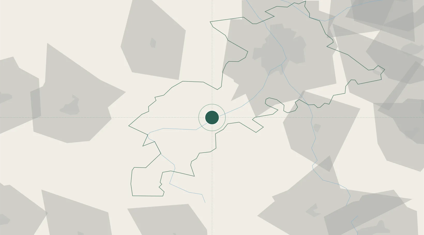
Hub Profile
Place type
Populated place
Region
Occitanie
Population
956
Time zone
Europe/Paris
Elevation
268 m
Location
Nearby Logistics Neighbours
Cities
- 1Bours11 km
- 2Lavelanet-de-Comminges14 km
- 3Sentaraille20 km
- 4Villeneuve-de-Rivière25 km
- 5Montjoie-en-Couserans26 km
Ports
- 1Port-La-Nouvelle172 km
- 2Port-Vendres190 km
- 3Bayonne200 km
- 4Rosas208 km
- 5Sete223 km
Airports
Trade Zones
- 1ZFU Toulouse61 km
- 2ZFU Perpignan166 km
- 3ZFU Béziers183 km
- 4ZFU Hauts de Garonne221 km
- 5Depósito Franco de Zaragoza223 km
DatabookThe Record of Consolidated Knowledge
France beyond logistics?