UN/LOCODE hub · France
FRVHG

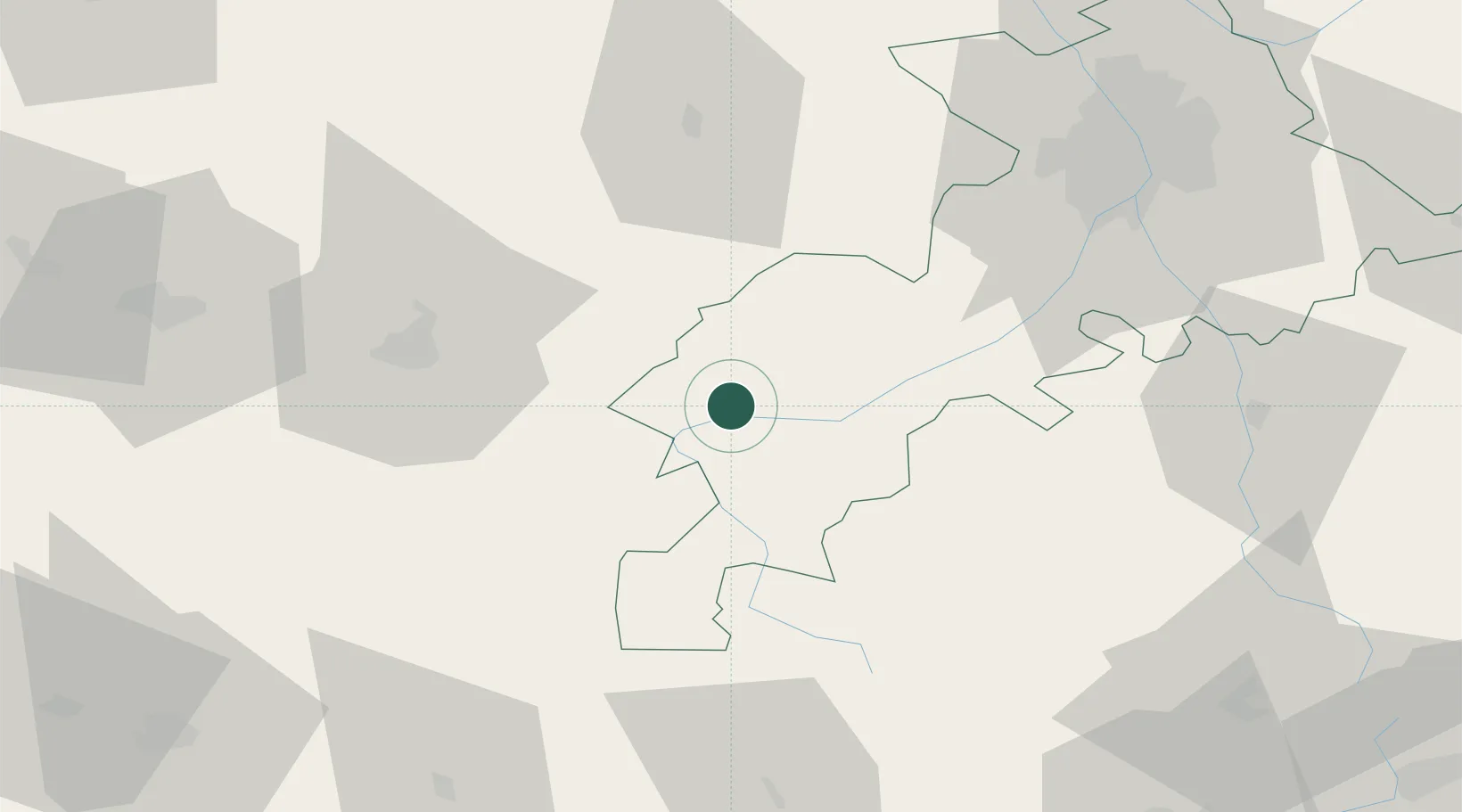
Villeneuve-de-Rivière

43.1333°, 0.6667°
1,552
Population
1
Transport functions

Transport Functions

Multimodal
UN/LOCODE

Hub Profile

Place type
Populated place
GeoNames
Region
Occitanie
GeoNames
Population
1,552
GeoNames
Time zone
Europe/Paris
GeoNames
Elevation
386 m
GeoNames

Location

Location of FRVHG
Natural Earth 10m (public domain) · Occitanie · FRVHG · 43.13, 0.67GoogleOSMYandex

Nearby Logistics Neighbours

Cities
  1. 1Blajan15 km
  2. 2Fronsac20 km
  3. 3Péguilhan21 km
  4. 4Boussens25 km
  5. 5Sarrancolin31 km
Nearest neighbours — logibook spatial index (haversine) over the source coordinates
Ports
  1. 1Bayonne177 km
  2. 2Port-La-Nouvelle195 km
  3. 3Port-Vendres211 km
  4. 4Puerto De Pasajes212 km
  5. 5Bordeaux217 km
Nearest neighbours — logibook spatial index (haversine) over the source coordinates
Airports
  1. 1Aérodrome de Saint-Girons - Antichan38 km
  2. 2Tarbes-Lourdes-Pyrénées Airport55 km
  3. 3Auch Gers Airfield61 km
  4. 4Toulouse-Francazal (BA 101) Air Base73 km
  5. 5Toulouse-Blagnac Airport79 km
Nearest neighbours — logibook spatial index (haversine) over the source coordinates
Trade Zones
  1. 1ZFU Toulouse82 km
  2. 2ZFU Perpignan188 km
  3. 3Depósito Franco de Zaragoza204 km
  4. 4ZFU Béziers208 km
  5. 5Depósito Franco de Pasajes (Guipúzcoa)211 km
Nearest neighbours — logibook spatial index (haversine) over the source coordinates
DatabookThe Record of Consolidated Knowledge
France beyond logistics?
Browse databook

All Sources

LocationsUN/LOCODE
UN/LOCODE — free
LocationsGeoNames
CC BY 4.0
Portsthe NGA World Port Index
Public domain (US gov)
AirportsOurAirports
Public domain
Trade Zonesthe World Bank SEZ database
CC BY 4.0
Trade ZonesOpen Zone Map
CC BY
← France locations