Transport Functions
Road
Multimodal
Hub Profile
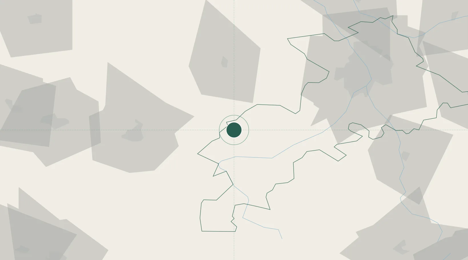
Place type
Populated place
Region
Occitanie
Population
533
Time zone
Europe/Paris
Elevation
357 m
Location
Nearby Logistics Neighbours
Cities
- 1Péguilhan7 km
- 2Villeneuve-de-Rivière15 km
- 3Boussens27 km
- 4Ornézan28 km
- 5Bours28 km
Ports
- 1Bayonne173 km
- 2Port-La-Nouvelle198 km
- 3Bordeaux203 km
- 4Puerto De Pasajes209 km
- 5Ambes216 km
Airports
Trade Zones
- 1ZFU Toulouse74 km
- 2ZFU Perpignan193 km
- 3ZFU Hauts de Garonne200 km
- 4Port de Bordeaux206 km
- 5ZFU Béziers208 km
DatabookThe Record of Consolidated Knowledge
France beyond logistics?