Seaport · Spain
Puerto De PasajesESPAS
43.3333°, -1.9333°
9.4 m
Channel depth
11.0
Port liner connectivity
Channel & Berth Profile
Pilotage, Tugs & Services
Pilotage compulsoryYES
Pilotage availableYES
Pilotage advisableYES
Tug assistanceYES
Shore powerYES
Potable waterYES
Diesel bunkersYES
MedicalYES
Facilities & Capabilities
Container—
Ro-Ro—
Liquid bulk—
Dry bulk—
Oil terminal—
Break bulk—
Dry dockNO
RepairsNO
BunkeringYES
Rail linkYES
Dangerous cargo—
ISPS security—
Harbour Specifications
Harbour size
Medium
Harbour type
River (Natural)
Shelter
Fair
Water body
Bay of Biscay; North Atlantic Ocean
Tidal range
5 m
Pilotage
Yes
Liner Connectivity
11
PLSCI
Port Liner Shipping Connectivity Index for Puerto De Pasajes, as published by UNCTAD for the latest available quarter. Higher values indicate stronger scheduled liner-shipping integration.
Shown relative to the highest per-port PLSCI in the dataset (1,657.9).
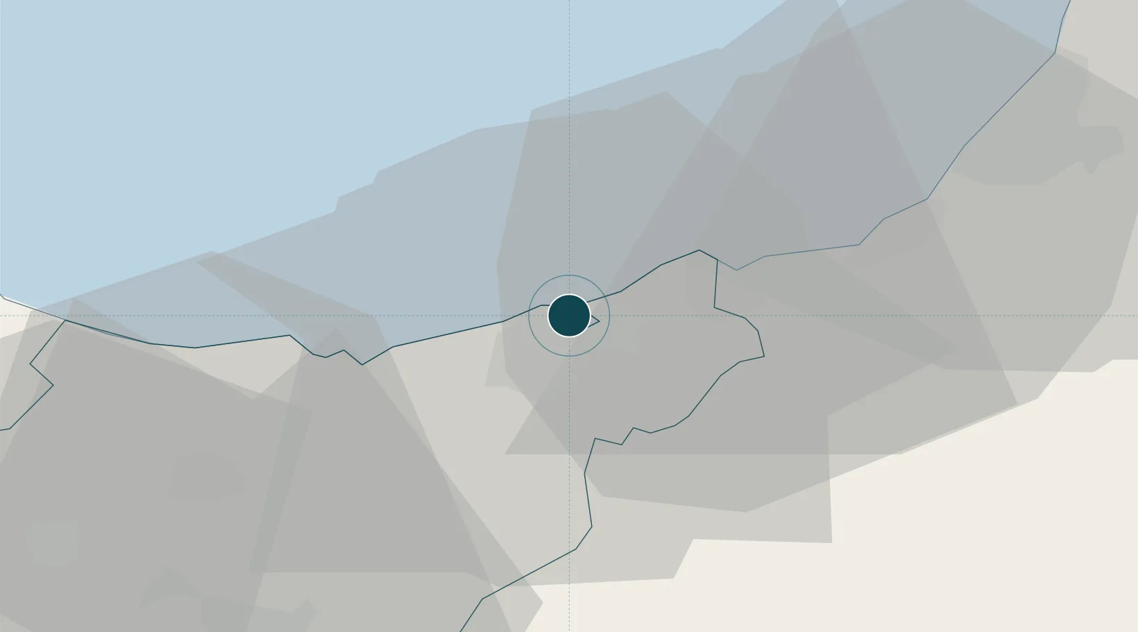
Location
Nearby Logistics Neighbours
Ports
- 1Bayonne42 km
- 2Bermeo64 km
- 3Puerto De Bilbao90 km
- 4Santander150 km
- 5Bordeaux202 km
Cities
- 1Pasai San Pedro0 km
- 2Rentería3 km
- 3Lizartza4 km
- 4Astigarraga6 km
- 5Oiartzun (Elizalde)8 km
Airports
- 1San Sebastián Airport12 km
- 2Biarritz Pays Basque airport36 km
- 3Pamplona Airport67 km
- 4Bilbao Airport79 km
- 5Vitoria Airport82 km
Trade Zones
DatabookThe Record of Consolidated Knowledge
Spain beyond logistics?