Transport Functions
Multimodal
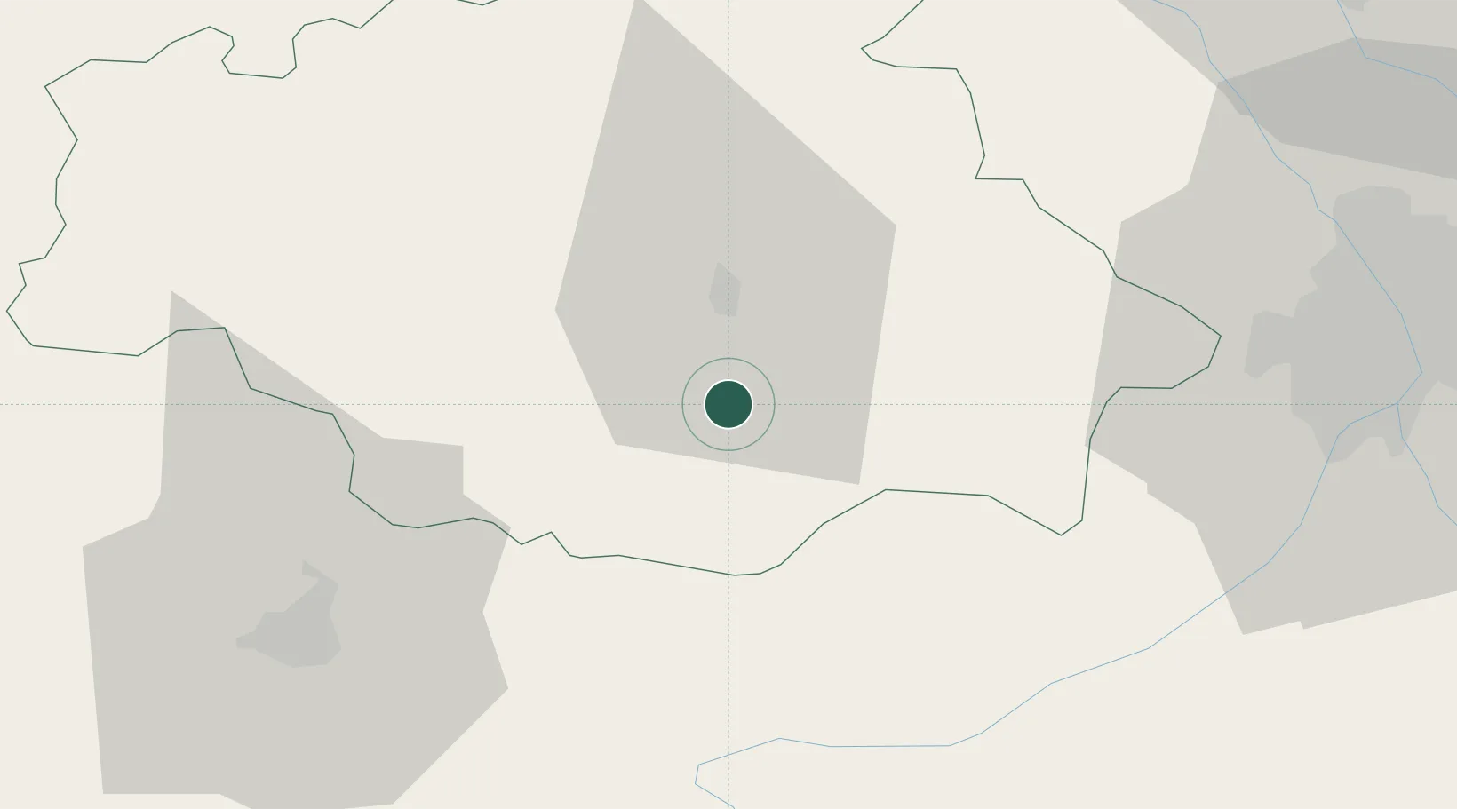
Hub Profile
Place type
Populated place
Region
Occitanie
Population
244
Time zone
Europe/Paris
Elevation
176 m
Location
Nearby Logistics Neighbours
Cities
- 1Auch15 km
- 2L'Isle-de-Noé17 km
- 3Roquelaure22 km
- 4Péguilhan24 km
- 5Mirepoix25 km
Ports
- 1Bayonne167 km
- 2Bordeaux177 km
- 3Ambes190 km
- 4Puerto De Pasajes206 km
- 5Blaye206 km
Airports
Trade Zones
- 1ZFU Toulouse69 km
- 2ZFU Hauts de Garonne174 km
- 3Port de Bordeaux179 km
- 4Depósito Franco de Pasajes (Guipúzcoa)205 km
- 5ZFU Perpignan207 km
DatabookThe Record of Consolidated Knowledge
France beyond logistics?