Transport Functions
Port
Road
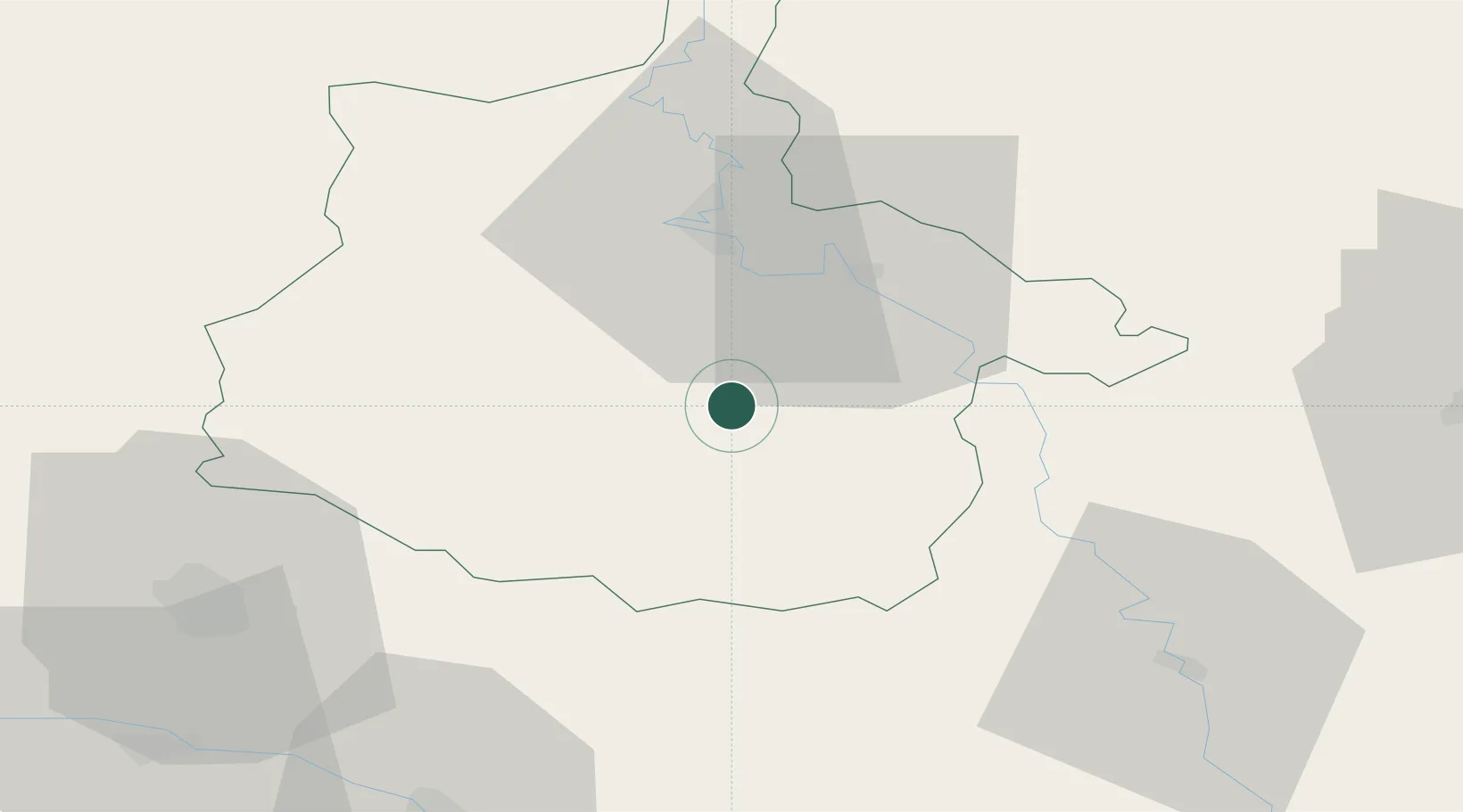
Hub Profile
Place type
Populated place
Region
Grand Est
Population
974
Time zone
Europe/Paris
Elevation
165 m
Location
Nearby Logistics Neighbours
Cities
- 1Malmy10 km
- 2Vouziers14 km
- 3Machecourt16 km
- 4Haraucourt18 km
- 5Dom-le-Mesnil19 km
Airports
Trade Zones
- 1ZFU Ronde Couture26 km
- 2ZFU Reims64 km
- 3ZFU Saint-Dizier99 km
- 4ZFU Maubeuge, Louvroil102 km
- 5Luxembourg Free Port106 km
DatabookThe Record of Consolidated Knowledge
France beyond logistics?