Transport Functions
Rail
Road
Hub Profile
Place type
District seat
Region
Grand Est
Population
4,946
Time zone
Europe/Paris
Elevation
112 m
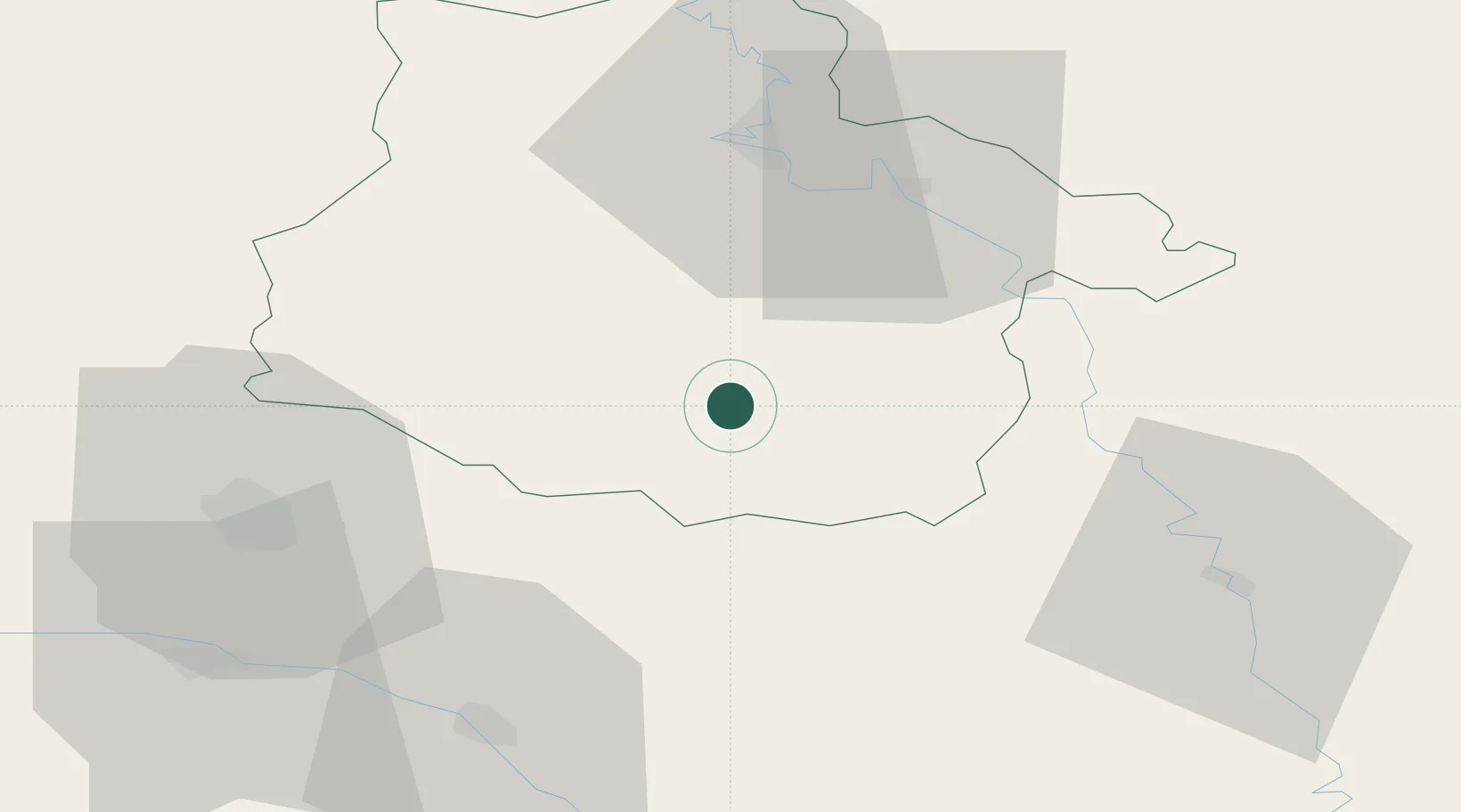
Location
Nearby Logistics Neighbours
Cities
- 1Senuc13 km
- 2Le Chesne14 km
- 3Ménil-Annelles19 km
- 4Malmy24 km
- 5Sault-lès-Rethel27 km
Airports
Trade Zones
- 1ZFU Ronde Couture39 km
- 2ZFU Reims54 km
- 3ZFU Saint-Dizier86 km
- 4ZFU Presles, Chevreux101 km
- 5ZFU Woippy-Metz109 km
DatabookThe Record of Consolidated Knowledge
France beyond logistics?