Transport Functions
Multimodal
Hub Profile
Place type
Populated place
Region
Hauts-de-France
Time zone
Europe/Paris
Elevation
89 m
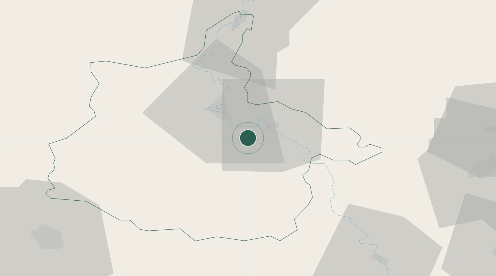
Location
Nearby Logistics Neighbours
Cities
- 1Dom-le-Mesnil5 km
- 2Malmy6 km
- 3Thelonne7 km
- 4Glaire-et-Villette9 km
- 5Haraucourt9 km
Airports
Trade Zones
- 1ZFU Ronde Couture14 km
- 2ZFU Reims77 km
- 3ZFU Maubeuge, Louvroil94 km
- 4Luxembourg Free Port99 km
- 5ZFU Woippy-Metz109 km
DatabookThe Record of Consolidated Knowledge
France beyond logistics?