Transport Functions
Port
Road
Hub Profile
Place type
Populated place
Region
Grand Est
Time zone
Europe/Paris
Elevation
161 m
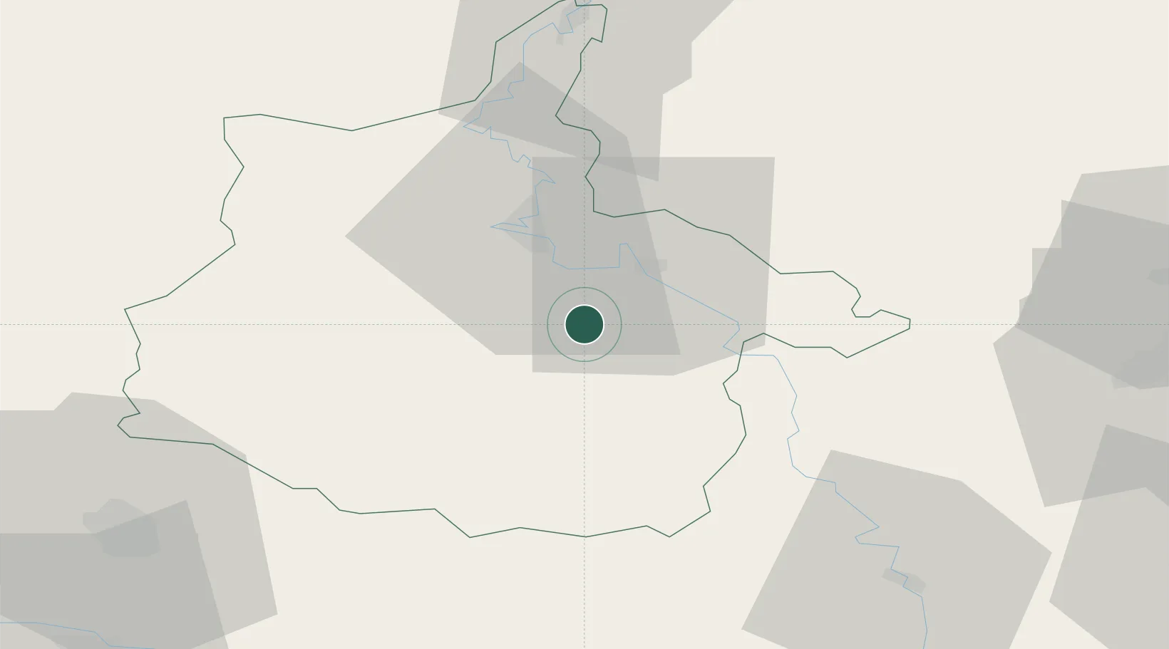
Location
Nearby Logistics Neighbours
Cities
- 1Machecourt6 km
- 2Dom-le-Mesnil10 km
- 3Haraucourt10 km
- 4Thelonne10 km
- 5Le Chesne10 km
Airports
Trade Zones
- 1ZFU Ronde Couture18 km
- 2ZFU Reims73 km
- 3ZFU Maubeuge, Louvroil98 km
- 4Luxembourg Free Port100 km
- 5ZFU Woippy-Metz108 km
DatabookThe Record of Consolidated Knowledge
France beyond logistics?