Transport Functions
Multimodal
Hub Profile
Place type
Populated place
Region
Occitanie
Population
5,256
Time zone
Europe/Paris
Elevation
147 m
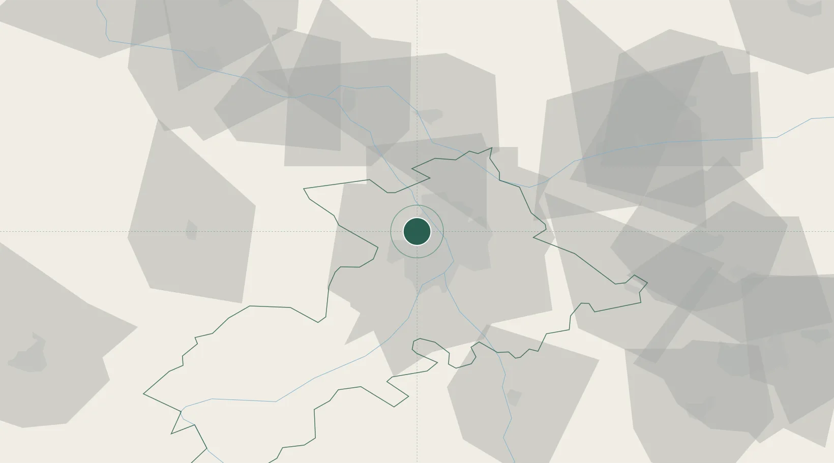
Location
Nearby Logistics Neighbours
Cities
- 1Beauzelle6 km
- 2Seilh6 km
- 3Saint-Alban8 km
- 4Merville8 km
- 5Léguevin9 km
Ports
- 1Port-La-Nouvelle158 km
- 2Port-Vendres193 km
- 3Sete194 km
- 4Bordeaux202 km
- 5Ambes212 km
Airports
Trade Zones
- 1ZFU Toulouse11 km
- 2ZFU Béziers157 km
- 3ZFU Perpignan166 km
- 4ZFU Hauts de Garonne200 km
- 5Port de Bordeaux203 km
DatabookThe Record of Consolidated Knowledge
France beyond logistics?