UN/LOCODE hub · France
FRBLN
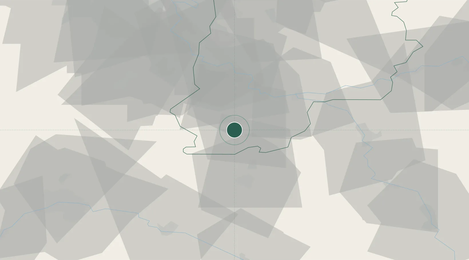
Bagneaux-sur-Loing
48.2333°, 2.6833°
1,569
Population
2
Transport functions
Transport Functions
Rail
Road
Hub Profile
Place type
Populated place
Region
Île-de-France
Population
1,569
Time zone
Europe/Paris
Elevation
63 m
Location
Nearby Logistics Neighbours
Cities
- 1Nemours4 km
- 2Darvault5 km
- 3Montcourt-Fromonville8 km
- 4Grez-sur-Loing9 km
- 5Château-Landon9 km
Ports
- 1Port Of Rouen180 km
- 2Dieppe222 km
- 3Honfleur223 km
- 4Le Treport225 km
- 5Deauville228 km
Airports
Trade Zones
- 1ZFU Montereau-Fault-Yonne26 km
- 2ZFU Melun35 km
- 3ZFU Sens44 km
- 4ZFU Corbeil-Evry45 km
- 5ZFU Epinay-sous-Sénart52 km
DatabookThe Record of Consolidated Knowledge
France beyond logistics?