Transport Functions
Multimodal
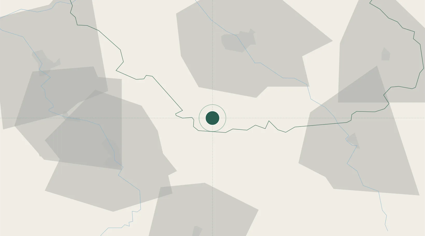
Hub Profile
Place type
Populated place
Region
Grand Est
Population
197
Time zone
Europe/Paris
Elevation
148 m
Location
Nearby Logistics Neighbours
Cities
- 1Flogny-la-Chapelle9 km
- 2Bernouil11 km
- 3Junay11 km
- 4Vézinnes11 km
- 5Molosmes12 km
Ports
- 1Port Of Rouen269 km
- 2Saint-Valery-Sur-Somme299 km
- 3Le Treport300 km
- 4Dieppe303 km
- 5Honfleur319 km
Airports
- 1Troyes-Barberey Airport38 km
- 2Auxerre Branches airport39 km
- 3Chalons Vatry airport89 km
- 4Saint-Dizier – Robinson Air Base99 km
- 5Dijon Longvic airport115 km
Trade Zones
DatabookThe Record of Consolidated Knowledge
France beyond logistics?