Transport Functions
Multimodal
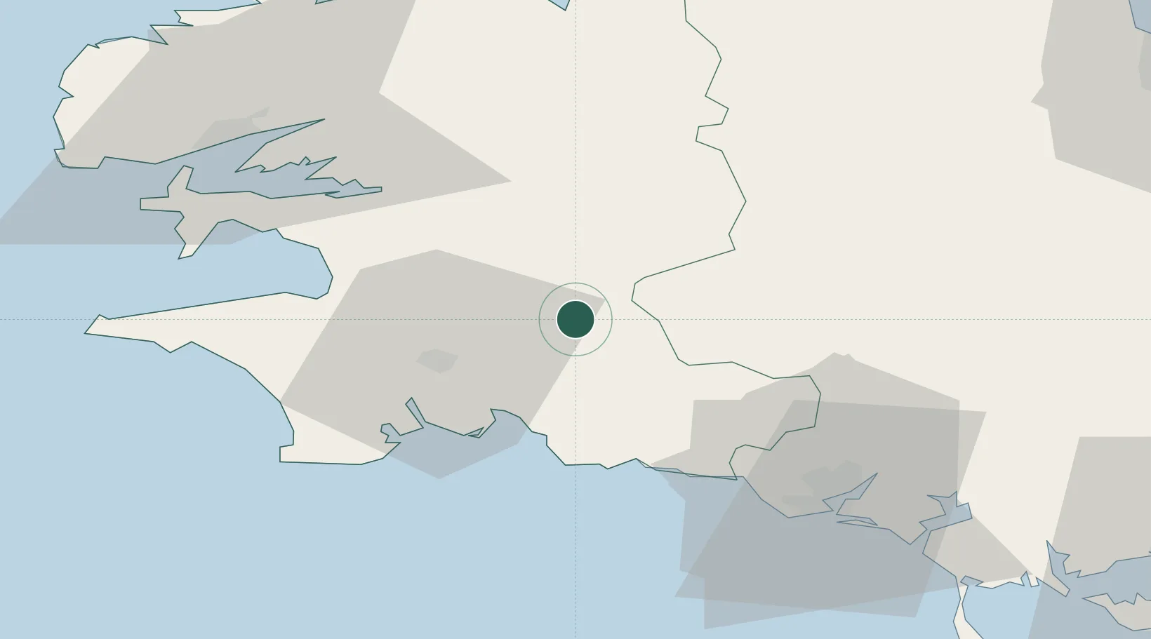
Hub Profile
Place type
Populated place
Region
Brittany
Population
1,704
Time zone
Europe/Paris
Elevation
226 m
Location
Nearby Logistics Neighbours
Cities
- 1Elliant8 km
- 2Rosporden11 km
- 3Gouézec15 km
- 4Bannalec18 km
- 5La Forêt-Fouesnant20 km
Ports
- 1Concarneau23 km
- 2Lorient50 km
- 3Morlaix58 km
- 4Rade De Brest61 km
- 5Port De Roscoff-Bloscon75 km
Airports
Trade Zones
- 1ZFU Saint-Nazaire146 km
- 2ZFU Nantes et Saint-Herblain185 km
- 3ZFU Cherbourg-Octeville236 km
- 4ZFU Angers250 km
- 5Oceansgate Plymouth257 km
DatabookThe Record of Consolidated Knowledge
France beyond logistics?