UN/LOCODE hub · France
FRGZQ

Gouézec

48.1667°, -3.9667°
1,033
Population
2
Transport functions

Transport Functions

Road
Multimodal
UN/LOCODE

Hub Profile

Place type
Populated place
GeoNames
Region
Brittany
GeoNames
Population
1,033
GeoNames
Time zone
Europe/Paris
GeoNames
Elevation
103 m
GeoNames

Location

Location of FRGZQ
Natural Earth 10m (public domain) · Brittany · FRGZQ · 48.17, -3.97GoogleOSMYandex

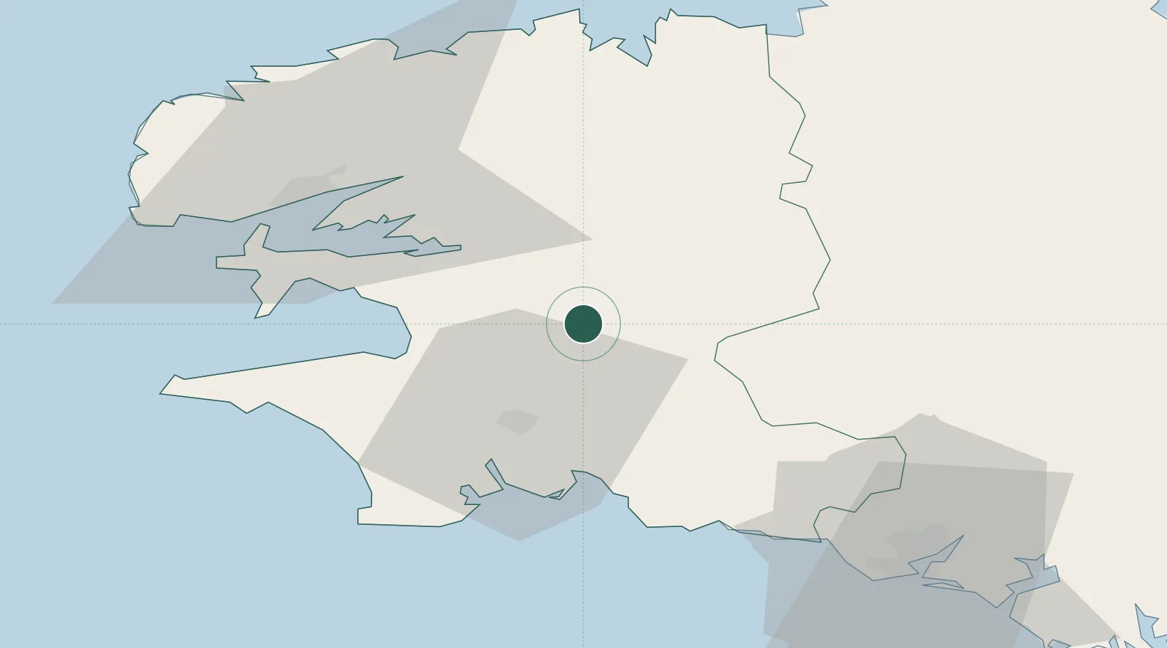
Nearby Logistics Neighbours

Cities
  1. 1Port-Launay10 km
  2. 2Coray15 km
  3. 3Elliant20 km
  4. 4Quimper21 km
  5. 5Rosporden24 km
Nearest neighbours — logibook spatial index (haversine) over the source coordinates
Ports
  1. 1Concarneau34 km
  2. 2Rade De Brest46 km
  3. 3Morlaix47 km
  4. 4Port De Roscoff-Bloscon63 km
  5. 5Lorient65 km
Nearest neighbours — logibook spatial index (haversine) over the source coordinates
Airports
  1. 1Quimper-Cornouaille Airport26 km
  2. 2Lanvéoc-Poulmic Air Base38 km
  3. 3Landivisiau Air Base43 km
  4. 4Brest Bretagne airport46 km
  5. 5Morlaix-Ploujean Airport50 km
Nearest neighbours — logibook spatial index (haversine) over the source coordinates
Trade Zones
  1. 1ZFU Saint-Nazaire161 km
  2. 2ZFU Nantes et Saint-Herblain199 km
  3. 3ZFU Cherbourg-Octeville235 km
  4. 4Oceansgate Plymouth246 km
  5. 5Heart of the South West Enterprise Zone248 km
Nearest neighbours — logibook spatial index (haversine) over the source coordinates
DatabookThe Record of Consolidated Knowledge
France beyond logistics?
Browse databook

All Sources

LocationsUN/LOCODE
UN/LOCODE — free
LocationsGeoNames
CC BY 4.0
Portsthe NGA World Port Index
Public domain (US gov)
AirportsOurAirports
Public domain
Trade Zonesthe World Bank SEZ database
CC BY 4.0
Trade ZonesOpen Zone Map
CC BY
← France locations