Medium airport · France
Morlaix-Ploujean AirportLFRU
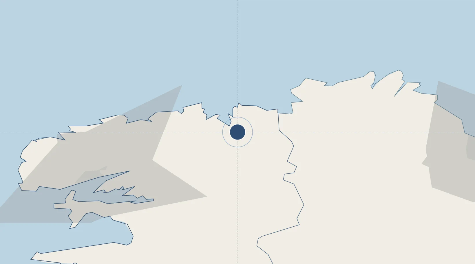
48.6032°, -3.8158°
5,305 ft
Longest runway
3
Runways
272 ft
Elevation
Runway & Layout

Radio Frequencies
APP
122.4 MHz
LANDI APP
APP
135.825 MHz
IROISE APP
Navaids
MLX NDB Morlaix 371 kHz
Runways · 3
| Runway | Dimensions | Surface | True heading | Lit |
|---|---|---|---|---|
| 04/22 | 5,305 × 118ft | Asphalt | 041° | ✓ |
| 15/33 | 2,772 × 262ft | Unknown | 153° | — |
| 09/27 | 1,548 × 262ft | — | 090° | — |
Airport Specifications
IATA code
MXN
ICAO code
LFRU
Airport class
Medium airport
Scheduled service
No
Runway surface
Asphalt
Served city
Morlaix/Ploujean
Location
Nearby Logistics Neighbours
Airports
- 1Landivisiau Air Base26 km
- 2Lannion Airport30 km
- 3Brest Bretagne airport48 km
- 4Lanvéoc-Poulmic Air Base59 km
- 5Saint-Brieuc-Armor Airport71 km
Cities
- 1Morlaix3 km
- 2Plouezoc'h3 km
- 3Lanvenegen8 km
- 4Guimaëc11 km
- 5Plouegat-Guérand11 km
Ports
- 1Morlaix3 km
- 2Port De Roscoff-Bloscon19 km
- 3Treguier47 km
- 4Pontrieux51 km
- 5Rade De Brest56 km
Trade Zones
- 1ZFU Saint-Nazaire187 km
- 2ZFU Cherbourg-Octeville194 km
- 3Oceansgate Plymouth198 km
- 4Heart of the South West Enterprise Zone200 km
- 5ZFU Nantes et Saint-Herblain220 km
DatabookThe Record of Consolidated Knowledge
France beyond logistics?