UN/LOCODE hub · France
FREAF

Elliant

48.0000°, -3.8833°
2,929
Population
1
Transport functions

Transport Functions

Multimodal
UN/LOCODE

Hub Profile

Place type
Populated place
GeoNames
Region
Brittany
GeoNames
Population
2,929
GeoNames
Time zone
Europe/Paris
GeoNames
Elevation
117 m
GeoNames

Location

Location of FREAF
Natural Earth 10m (public domain) · Brittany · FREAF · 48.00, -3.88GoogleOSMYandex

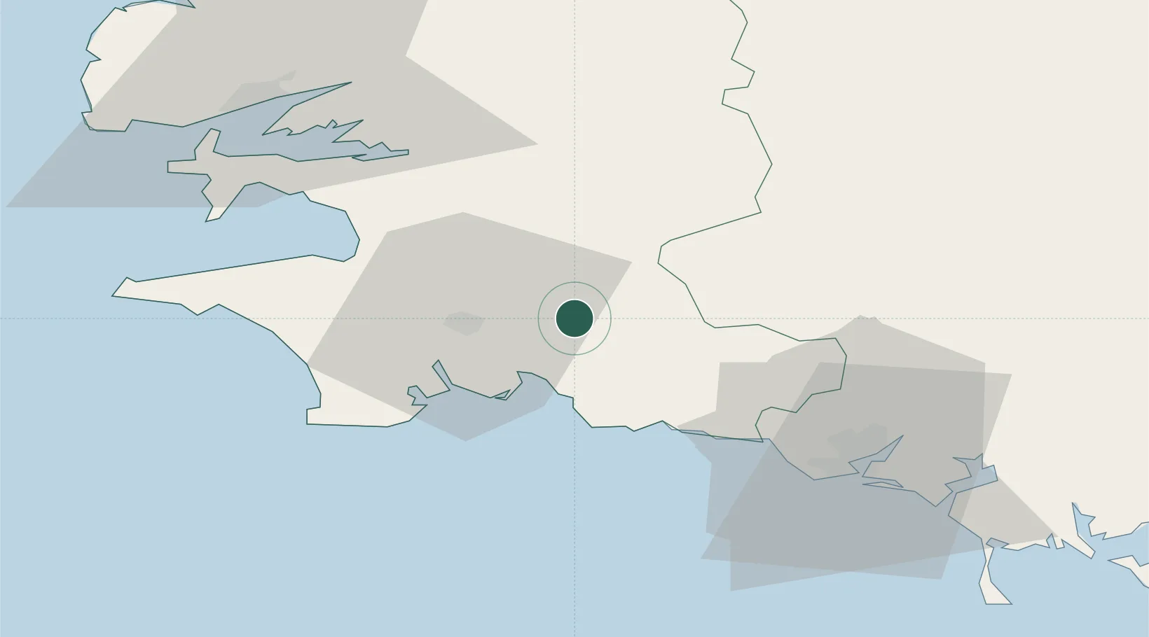
Nearby Logistics Neighbours

Cities
  1. 1Rosporden5 km
  2. 2Coray8 km
  3. 3La Forêt-Fouesnant12 km
  4. 4Concarneau13 km
  5. 5Fouesnant15 km
Nearest neighbours — logibook spatial index (haversine) over the source coordinates
Ports
  1. 1Concarneau15 km
  2. 2Lorient49 km
  3. 3Rade De Brest63 km
  4. 4Morlaix65 km
  5. 5Port De Roscoff-Bloscon82 km
Nearest neighbours — logibook spatial index (haversine) over the source coordinates
Airports
  1. 1Quimper-Cornouaille Airport22 km
  2. 2Lorient South Brittany (Bretagne Sud) Airport42 km
  3. 3Lanvéoc-Poulmic Air Base52 km
  4. 4Landivisiau Air Base62 km
  5. 5Brest Bretagne airport64 km
Nearest neighbours — logibook spatial index (haversine) over the source coordinates
Trade Zones
  1. 1ZFU Saint-Nazaire145 km
  2. 2ZFU Nantes et Saint-Herblain185 km
  3. 3ZFU Cherbourg-Octeville244 km
  4. 4ZFU Angers252 km
  5. 5Oceansgate Plymouth265 km
Nearest neighbours — logibook spatial index (haversine) over the source coordinates
DatabookThe Record of Consolidated Knowledge
France beyond logistics?
Browse databook

All Sources

LocationsUN/LOCODE
UN/LOCODE — free
LocationsGeoNames
CC BY 4.0
Portsthe NGA World Port Index
Public domain (US gov)
AirportsOurAirports
Public domain
Trade Zonesthe World Bank SEZ database
CC BY 4.0
Trade ZonesOpen Zone Map
CC BY
← France locations