UN/LOCODE hub · France
FRLZF
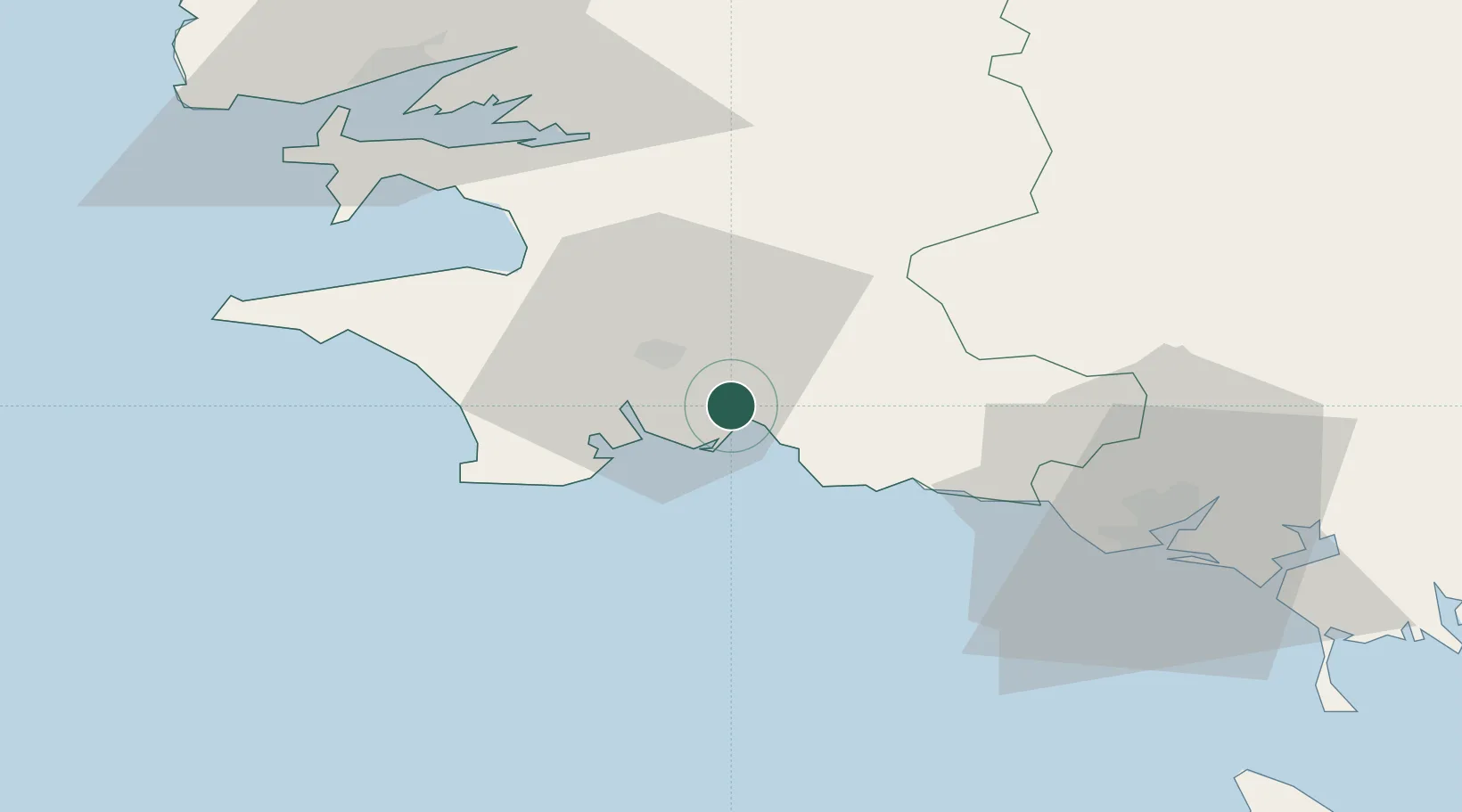
La Forêt-Fouesnant
47.9167°, -3.9833°
2,955
Population
2
Transport functions
Transport Functions
Port
Road
Hub Profile
Place type
Populated place
Region
Brittany
Population
2,955
Time zone
Europe/Paris
Elevation
16 m
Location
Nearby Logistics Neighbours
Cities
- 1Fouesnant3 km
- 2Pleuven4 km
- 3Concarneau6 km
- 4Bénodet10 km
- 5Elliant12 km
Ports
- 1Concarneau8 km
- 2Lorient51 km
- 3Rade De Brest65 km
- 4Morlaix75 km
- 5Port De Roscoff-Bloscon91 km
Airports
Trade Zones
- 1ZFU Saint-Nazaire147 km
- 2ZFU Nantes et Saint-Herblain188 km
- 3ZFU Cherbourg-Octeville256 km
- 4ZFU Angers258 km
- 5Oceansgate Plymouth273 km
DatabookThe Record of Consolidated Knowledge
France beyond logistics?