UN/LOCODE hub · France
FRDDO

Brouay

49.2167°, -0.5667°
335
Population
1
Transport functions

Transport Functions

Multimodal
UN/LOCODE

Hub Profile

Place type
Populated place
GeoNames
Region
Normandy
GeoNames
Population
335
GeoNames
Time zone
Europe/Paris
GeoNames
Elevation
57 m
GeoNames

Location

Location of FRDDO
Natural Earth 10m (public domain) · Normandy · FRDDO · 49.22, -0.57GoogleOSMYandex

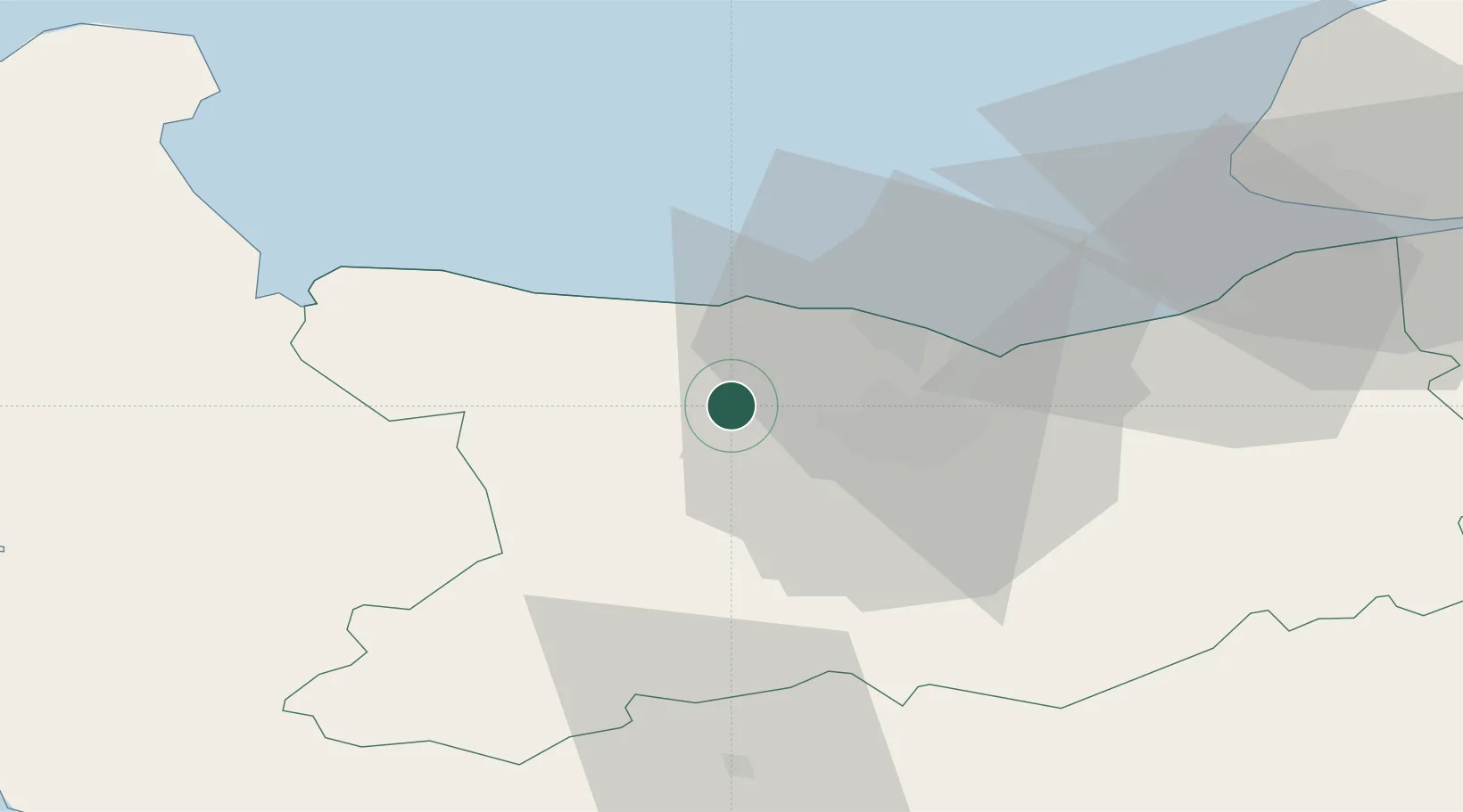
Nearby Logistics Neighbours

Cities
  1. 1Mouen10 km
  2. 2Fontaine-Henry11 km
  3. 3Bayeux12 km
  4. 4Asnelles13 km
  5. 5Ver-sur-Mer13 km
Nearest neighbours — logibook spatial index (haversine) over the source coordinates
Ports
  1. 1Port De Caen16 km
  2. 2Ouistreham24 km
  3. 3Deauville50 km
  4. 4Port Of Le Havre58 km
  5. 5Honfleur61 km
Nearest neighbours — logibook spatial index (haversine) over the source coordinates
Airports
  1. 1Caen Carpiquet airport9 km
  2. 2Deauville Normandie airport55 km
  3. 3Le Havre-Octeville Airport59 km
  4. 4Cherbourg Manche airport81 km
  5. 5Granville Airport82 km
Nearest neighbours — logibook spatial index (haversine) over the source coordinates
Trade Zones
  1. 1ZFU La Guérinière, La Grâce de Dieu12 km
  2. 2ZFU Hérouville-Saint-Clair16 km
  3. 3ZFU Le Havre59 km
  4. 4ZFU Cherbourg-Octeville93 km
  5. 5ZFU Alençon99 km
Nearest neighbours — logibook spatial index (haversine) over the source coordinates
DatabookThe Record of Consolidated Knowledge
France beyond logistics?
Browse databook

All Sources

LocationsUN/LOCODE
UN/LOCODE — free
LocationsGeoNames
CC BY 4.0
Portsthe NGA World Port Index
Public domain (US gov)
AirportsOurAirports
Public domain
Trade Zonesthe World Bank SEZ database
CC BY 4.0
Trade ZonesOpen Zone Map
CC BY
← France locations