Transport Functions
Rail
Road
Hub Profile
Place type
District seat
Region
Île-de-France
Population
23,012
Time zone
Europe/Paris
Elevation
78 m
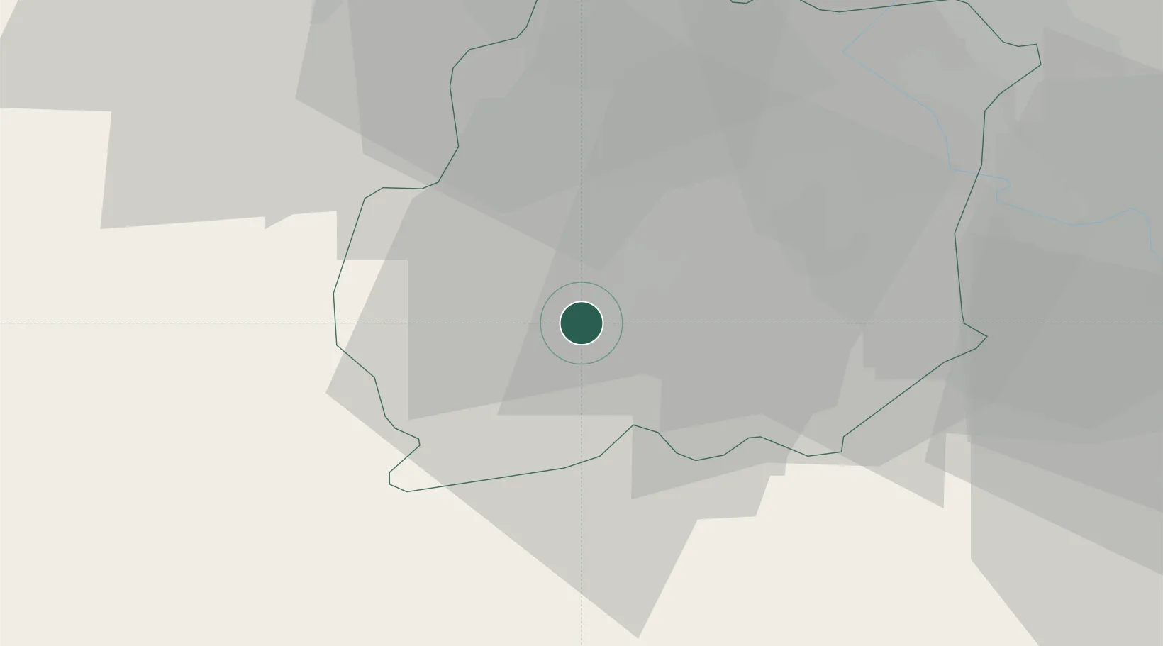
Location
Nearby Logistics Neighbours
Cities
- 1Étréchy8 km
- 2Boissy-le-Cutté11 km
- 3Lardy13 km
- 4Cerny13 km
- 5Maisse17 km
Ports
- 1Port Of Rouen138 km
- 2Honfleur179 km
- 3Deauville183 km
- 4Dieppe184 km
- 5Port Of Le Havre189 km
Airports
Trade Zones
- 1ZFU Corbeil-Evry28 km
- 2ZFU Grigny Viry-Châtillon31 km
- 3ZFU Melun38 km
- 4ZFU Epinay-sous-Sénart38 km
- 5ZFU Trappes40 km
DatabookThe Record of Consolidated Knowledge
France beyond logistics?