UN/LOCODE hub · France
FRXIN
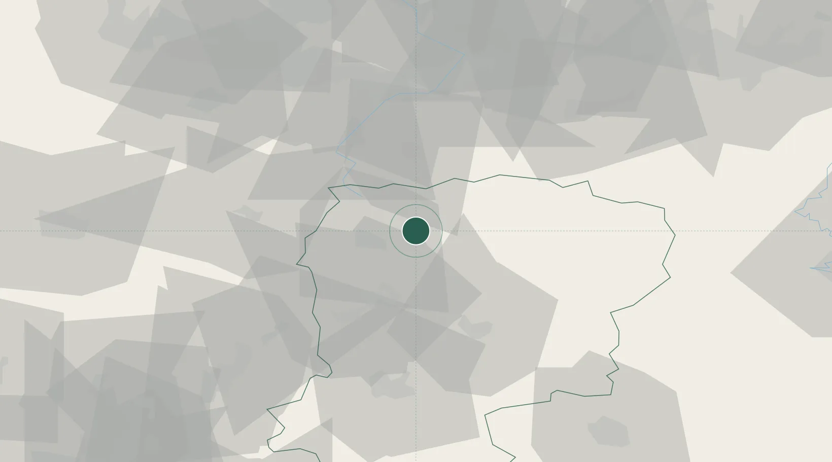
Fontaine-Notre-Dame
49.8833°, 3.4333°
392
Population
1
Transport functions
Transport Functions
Multimodal
Hub Profile
Place type
Populated place
Region
Hauts-de-France
Population
392
Time zone
Europe/Paris
Elevation
139 m
Location
Nearby Logistics Neighbours
Cities
- 1Origny-Sainte-Benoite7 km
- 2Regny8 km
- 3Harly10 km
- 4Vadencourt11 km
- 5Bohain-en-Vermandois11 km
Ports
- 1Bruxelles127 km
- 2Ghent133 km
- 3Saint-Valery-Sur-Somme134 km
- 4Nieuwpoort147 km
- 5Le Treport149 km
Airports
- 1Péronne Saint-Quentin Airfield29 km
- 2Valenciennes-Denain Airfield50 km
- 3Amiens Glisy Airfield75 km
- 4Lille Airport80 km
- 5Chièvres Air Base82 km
DatabookThe Record of Consolidated Knowledge
France beyond logistics?