UN/LOCODE hub · France
FROHV
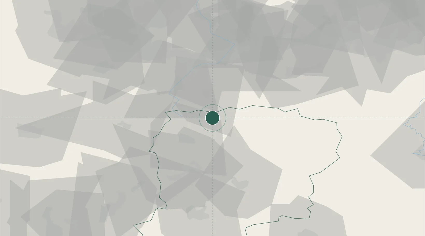
Bohain-en-Vermandois
49.9833°, 3.4500°
6,299
Population
2
Transport functions
Transport Functions
Rail
Road
Hub Profile
Place type
Populated place
Region
Hauts-de-France
Population
6,299
Time zone
Europe/Paris
Elevation
139 m
Location
Nearby Logistics Neighbours
Cities
- 1Maurois9 km
- 2Vadencourt10 km
- 3Fontaine-Notre-Dame11 km
- 4Origny-Sainte-Benoite17 km
- 5Lesdins17 km
Ports
- 1Bruxelles117 km
- 2Ghent122 km
- 3Saint-Valery-Sur-Somme133 km
- 4Nieuwpoort137 km
- 5Bruges140 km
Airports
- 1Péronne Saint-Quentin Airfield33 km
- 2Valenciennes-Denain Airfield38 km
- 3Lille Airport69 km
- 4Chièvres Air Base71 km
- 5Amiens Glisy Airfield77 km
DatabookThe Record of Consolidated Knowledge
France beyond logistics?